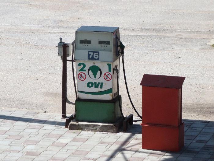
Gas station Ovi (Jelgava)
Latvia /
Jelgava /
Jelgava
World
/ Latvia
/ Jelgava
/ Jelgava
World / Latvia / Zemgale
historical layer / disappeared object
Add category
Nearby cities:
Coordinates: 56°38'15"N 23°43'40"E
- Former Soviet army Supreme Technical school 2.1 km
- Former Sugar factory 2.1 km
- Former Ane (Anhof) manor centre 4.4 km
- Former Agrokimija landing strip 5.8 km
- Former soviet military forces site 9 km
- Former airfield of Nākotne kolkhoz 16 km
- Dobele crater 29 km
- Former soviet SAM battery site S-300P (Russian: C-300П, NATO: SA-10(A) GRUMBLE) 45 km
- Jauči 59 km
- Ķīpas 65 km
- Jelgavas dzirnavas grain mill 0.3 km
- Station park 0.6 km
- Jelgava Railway station 0.6 km
- Aveņu ciems 0.6 km
- Jelgava meat processing plant 0.6 km
- Alunan's park 0.7 km
- Industrial park Madara 0.7 km
- Šauļu rampa 1 km
- Fortum Jelgava biomass cogeneration power plant 1.1 km
- Ozolnieki municipality 9 km