Fridhemsplan metro station (Stockholm)
Sweden /
Stockholm /
Stockholm
World
/ Sweden
/ Stockholm
/ Stockholm
World / Sweden / Stockholm
invisible, metro station
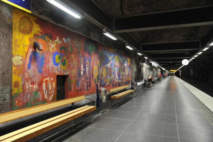
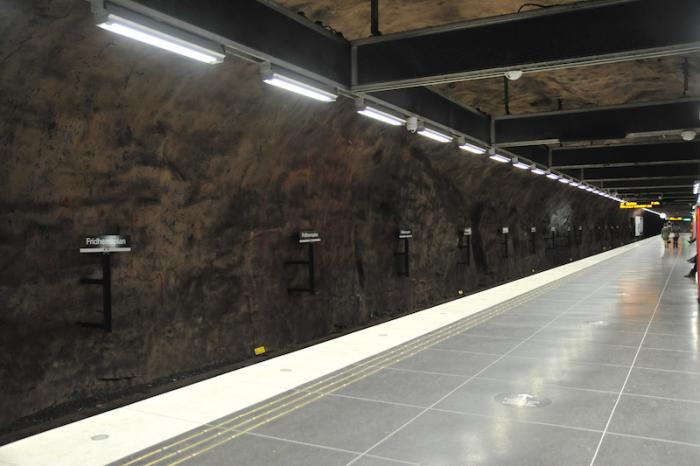
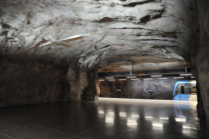
Fridhemsplan metro station is a station of the Stockholm metro, located in the district of Kungsholmen. The station consists of two combined station parts, one for the green line and one for the blue line. There is a track connection between the trails.
The first part was opened in 1952 and the platform is around 18 meters under the ground. The distance to Slussen is 4.9 km. The second part was opened in 1975, when the blue line was inaugurated, and the platform is around 28–31 meters under the ground. The distance to Kungsträdgården is 2.1 km.
The first part was opened in 1952 and the platform is around 18 meters under the ground. The distance to Slussen is 4.9 km. The second part was opened in 1975, when the blue line was inaugurated, and the platform is around 28–31 meters under the ground. The distance to Kungsträdgården is 2.1 km.
Wikipedia article: http://en.wikipedia.org/wiki/Fridhemsplan_metro_station
Nearby cities:
Coordinates: 59°20'1"N 18°1'44"E
- Stadshagen metro station 1 km
- Västra skogen metro station 2.1 km
- Tekniska högskolan metro station 2.6 km
- Östermalmstorg metro station 2.6 km
- Karlaplan metro station 3.6 km
- Solna Centrum (metro station) 3.6 km
- Gärdet (metro station) 4.2 km
- Näckrosen (metro station) 4.8 km
- Duvbo (metro station) 5.5 km
- Jar Subway Station 422 km
- Kungsholmen 0.2 km
- Saint Göran Hospital 0.5 km
- Rålambshovsparken 0.7 km
- Stadshagen 0.8 km
- Marieberg 0.9 km
- Kristineberg 1.2 km
- Långholmen 1.4 km
- Riddarfjärden 1.5 km
- Norrmalm (borough) 1.7 km
- Lake Mälaren 54 km