Naghadeh
Iran /
Azarbayejan-e Gharbi /
Naqadeh /
World
/ Iran
/ Azarbayejan-e Gharbi
/ Naqadeh
, 2 km from center (نقده)
World / Iran / West Azarbaijan
city
Add category
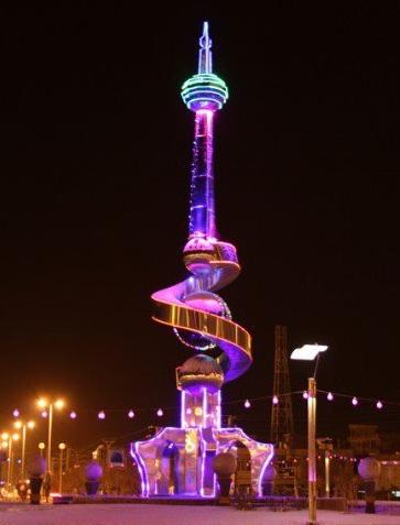

Naqadeh, formerly known as Suldüz is a city in and the capital of Naqadeh County, West Azerbaijan Province, Iran. At the 2006 census, its population was 121,975, in 20,781 families.
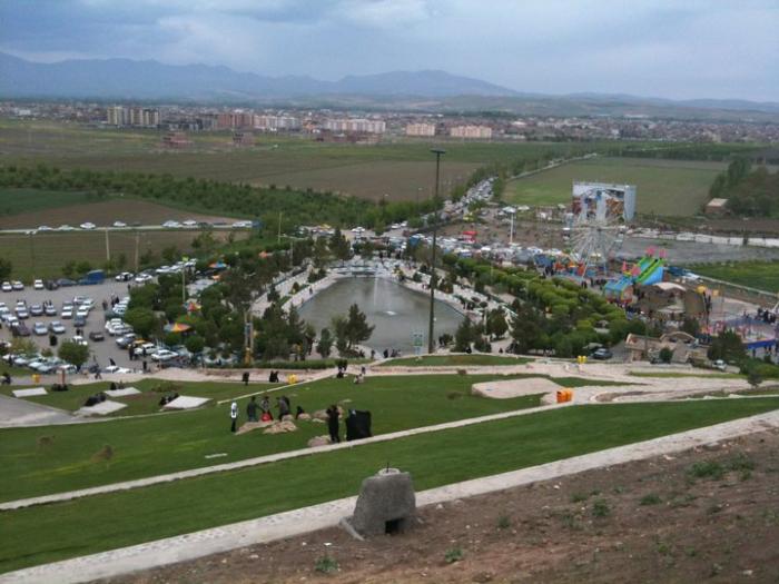
The city is located in the Gadar River valley, 23 kilometres (14 mi) south of Lake Urmia at an elevation of 1,300 metres (4,300 ft) above sea-level. The region's economy is based on agriculture, particularly the production of fruit, grain, and timber. Naqadeh is nicknamed as the Sulduz city of Azerbaijan. In Turkish Sulduz means plain water (i.e. a plain with water), this name because of the geographical situation of the city was chosen by ancient Turks who live there.
The town has a mized population of Kurds and Azeris of Turkic Qarapapaq confederacy (made up of the tribes of Ayrumlu, Ojaq and Afshar, who were resettled from the Caucasus into Persia/Iran after the loss of Georgia, Azerbaijan, Dagestan, and Armenia to Russia following the first and second Russo-Persian Wars of the 19th century). Until the genocides of World War One, the town was once home to a large number of Assyrians who perished during the Assyrian Genocide. The main religion is Shia Islam
Wikipedia article: http://en.wikipedia.org/wiki/Naghadeh
Nearby cities:
Coordinates: 36°57'12"N 45°23'14"E
- Urmia 81 km
- Tabriz 149 km
- Ardabil 290 km
- Rasht 366 km
- Khoshkebijar 383 km
- Ganja 430 km
- Shirvan 456 km
- Baku 528 km
- Binagadi District 540 km
- Sumgayit 542 km
- qiblə dağı قیبله داغی 4 km
- Naghadeh plain 5.2 km
- مهدی خان داغی mehdixan dağı 8.8 km
- hasanlo Wetland 9 km
- Reservoir Dam Hasanlu 13 km
- Water transfer tunnel from Kani sib Dam to Urmiua Lake - 36 km 19 km
- Wetland gerda qet 21 km
- Mahabad plain 29 km
- Mahabad Petrochemical 29 km
- Dashkhaneh Large pond(Lagoon) 31 km