Helipad (Los Angeles, California)
USA /
California /
Westwood /
Los Angeles, California
World
/ USA
/ California
/ Westwood
World / United States / California
heliport, draw only border
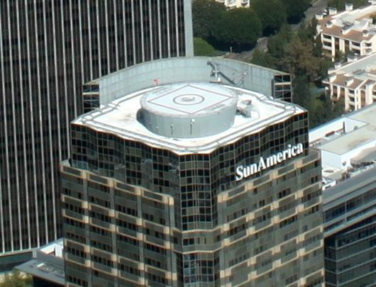
Helipad is a common abbreviation for helicopter landing pad, a landing area for helicopters. While helicopters are able to operate on a variety of relatively flat surfaces, a fabricated helipad provides a clearly marked hard surface away from obstacles where a helicopter can safely land.
Wikipedia article: http://en.wikipedia.org/wiki/Helipad
Nearby cities:
Coordinates: 34°3'31"N 118°25'0"W
- LAPD Jay Stephen Hooper Memorial Heliport 17 km
- LA County Fire Department Air Operations 22 km
- KPAI Barton Heliport 22 km
- 64CL Goodyear Blimp Base Airport 26 km
- Pasadena Police Heliport 27 km
- CN67 Rotorcraft Support Inc/RSI Heliport 60 km
- Naval Auxiliary Landing Field, San Clemente Island 116 km
- Platform Hidalgo 216 km
- O'Sullivan Army Heliport (ICAO: KCSL, FAA LID: CSL) 256 km
- KHGT Tusi Army Heliport (Hunter Liggett) 335 km
- Century City 0.4 km
- Beverly Hills High School 0.6 km
- Fox Studio Lot 0.9 km
- Los Angeles Country Club 1.4 km
- Wilshire Corridor 1.7 km
- West Los Angeles 1.8 km
- Cheviot Hills 2 km
- Westwood 2.3 km
- Holmby Hills 2.7 km
- Los Angeles County, California 25 km