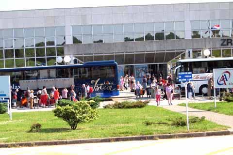
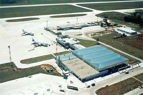
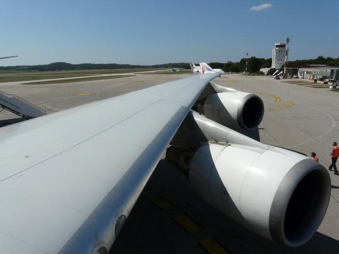
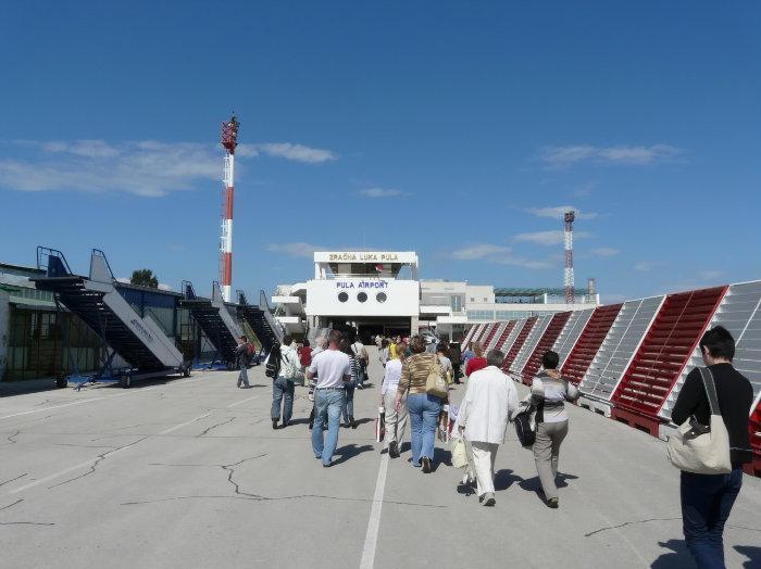
Flughafen Pula
Croatia /
Istra /
Galizhana /
World
/ Croatia
/ Istra
/ Galizhana
Världen / Kroatien /
Eingezäuntes Gebiet, Internationaler Flughafen
Wikipedia-Artikel: http://de.wikipedia.org/wiki/Flughafen Pula
Nearby cities:
Koordinaten: 44°53'44"N 13°55'22"E
- Internationaler Flughafen Frankfurt am Main 705 km
- Flughafen Paris-Charles de Gaulle 981 km
- Flughafen Amsterdam Schiphol 1071 km
- Neuer Flughafen Istanbul 1262 km
- Flughafen Kairo (CAI) 2242 km
- Flughafen Eilat-Owda 2475 km
- Flughafen Teheran-Imam Khomeini 3300 km
- Flughafen Basra 3335 km
- Flughafen Isfahan International 3510 km
- Flughafen Nowosibirsk-Tolmatschowo 4835 km
- Loborika 2.1 km
- Fort San Daniele 2.8 km
- Jadreški 3.4 km
- Kavran 6.1 km
- Küstenbatterie Monte Madonna 6.8 km
- Marčana 7.2 km
- Raša Kanal 16 km