Whitesheet Hill
United Kingdom /
England /
Gillingham /
World
/ United Kingdom
/ England
/ Gillingham
World / United Kingdom / England
hillfort, barrow/tumulus/burial mound
Whitesheet Hill is a 136.1 hectare biological Site of Special Scientific Interest in Wiltshire, notified in 1965.
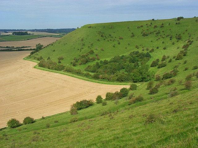
The hill is also the site of a neolithic causeway camp and barrows, and an Iron Age hill fort. The Roman road which runs along the hill was at one time the main route through the Selwood Forest. The hill is part of the Stourhead estate and has been in the ownership of the National Trust since 1946.
The hill is also the site of a neolithic causeway camp and barrows, and an Iron Age hill fort. The Roman road which runs along the hill was at one time the main route through the Selwood Forest. The hill is part of the Stourhead estate and has been in the ownership of the National Trust since 1946.
Wikipedia article: http://en.wikipedia.org/wiki/Whitesheet_Hill
Nearby cities:
Coordinates: 51°6'46"N 2°16'44"W
- Romano-British settlement and two bowl barrows on Blandford Race Down 450m south east of Telegraph Clump 28 km
- King Barrow and Tumuli (Winterbourne Stoke Group) 30 km
- Tumuli (Wilsford Group) 31 km
- Tumuli and Long Barrow (Lake Group) 31 km
- Tumuli, Round Barrows and Long Barrow (Normanton Down Group) 32 km
- Tumuli 37 km
- Tumuli 38 km
- Barrow Field Clumps 44 km
- Wash Common Barrow Burial Mound 71 km
- Seven Barrows 71 km
- Center Parcs Longleat 8.6 km
- Longleat Forest 8.7 km
- Southleigh Woods 10 km
- The American Garden 12 km
- The Great Ridge 13 km
- Cranborne Chase AONB 19 km
- Salisbury Plain 28 km
- The Salisbury Plain Training Area 29 km
- Dorset 35 km
- Somerset 54 km