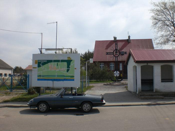
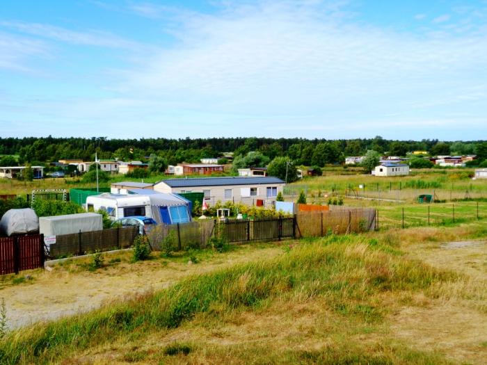
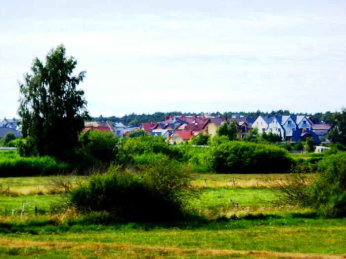
Ostrowo
Poland /
Pomorskie /
Wladyslawowo /
World
/ Poland
/ Pomorskie
/ Wladyslawowo
World / Poland / Pomeranian
village, draw only border

Nearby cities:
Coordinates: 54°49'23"N 18°15'7"E
- Karwia 3.8 km
- Nadole (csb. Nôdolé) 15 km
- Bolszewo (csb. Bòlszéwò) 20 km
- Bychowo (csb. Bichòwò) 20 km
- Orle 21 km
- Gościcino (csb. Gòścëcëno) 24 km
- Kierzkowo (csb. Czerzkòwò) 26 km
- Kębłowo (csb. Kãbłowò) 27 km
- Sasino (csb. Sasënò) 38 km
- Krępa Kaszubska 44 km
- Bus station 0.5 km
- Ostrowo Pustki 1.3 km
- Jeziora Dystroficzne 2.6 km
- Sławoszynko 3.7 km
- Rezerwat Przyrody "Woskownica Bielawskiego Błota" 3.7 km
- Ameryka 4.2 km
- Karwia's Mire 4.8 km
- Gmina Puck 13 km