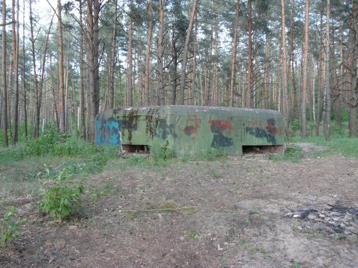
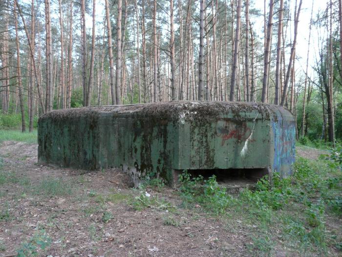
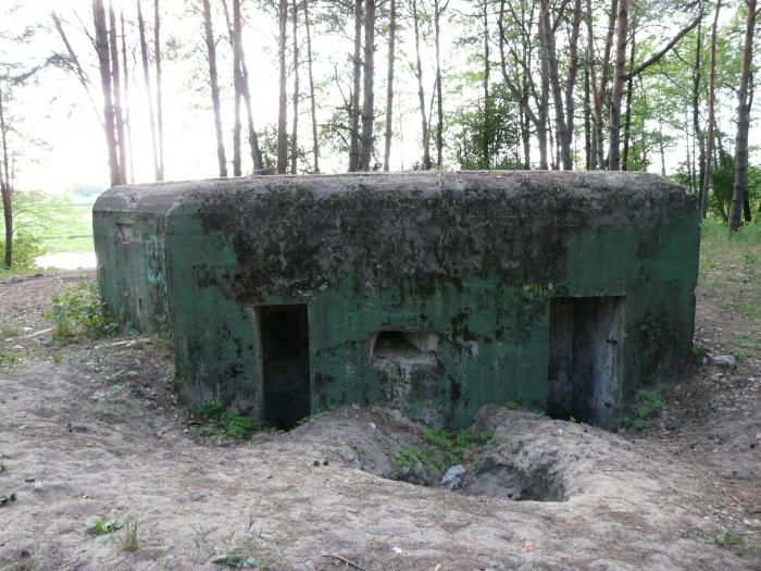
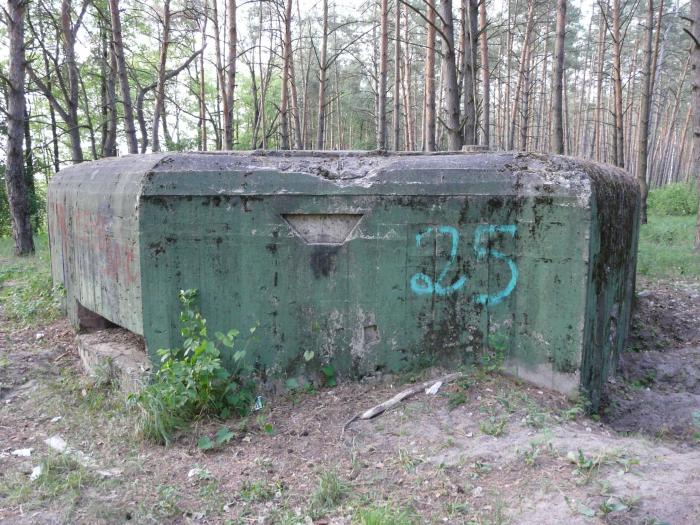
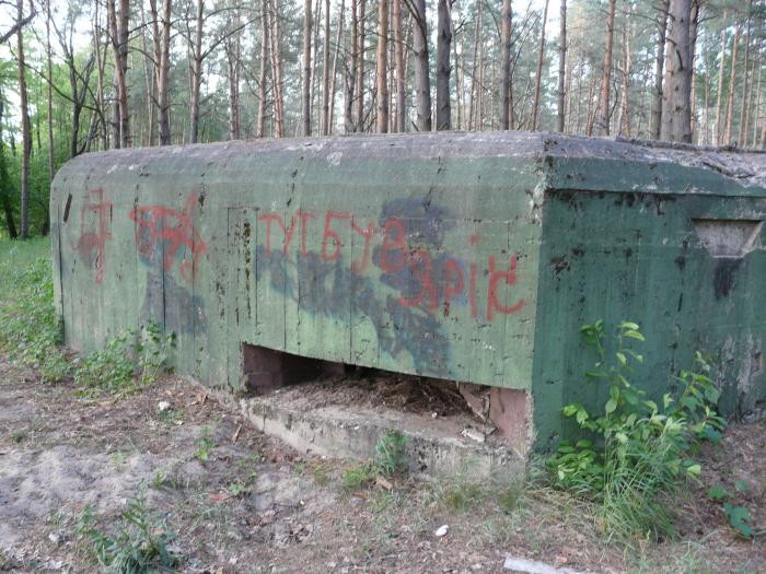
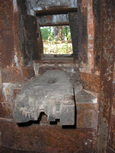
Pillbox 555
Ukraine /
Kyyivska /
Demydiv /
World
/ Ukraine
/ Kyyivska
/ Demydiv
, 4 km from center (Демидів)
World / Ukraine / Kiev
Second World War 1939-1945, fortification, pillbox, bunker, Kiev_fortified_area (kiur)

Nearby cities:
Coordinates: 50°41'31"N 30°18'54"E
- "Battle for Kyiv in 1943" National Museum and Reserve 10 km
- Kyiv 13 km
- National Historical and Memorial Reserve Babi Yar 25 km
- Slavy ('Glory') Park 32 km
- Alley of The Fallen Heroes 33 km
- National Museum of the History of Ukraine in the Second World War. The Memorial Complex 34 km
- Bykivnia Graves – Memorial to Victims of Repressions 35 km
- Pillbox 205 39 km
- Territory of Darnytskyi Concentration Camp 40 km
- German Military cemetery 44 km
- Research pine plantations 1.8 km
- Lake 3.6 km
- Pond 3.8 km
- Swamp 4.7 km
- Drying lake 5.3 km
- Poultry Processing Plant Gavrylivsky Kurchata 5.8 km
- Cemetery 6.1 km
- Gardens 7.3 km
- Pushcha Vodytsia Forest 10 km
- Vyshhorod Raion 13 km