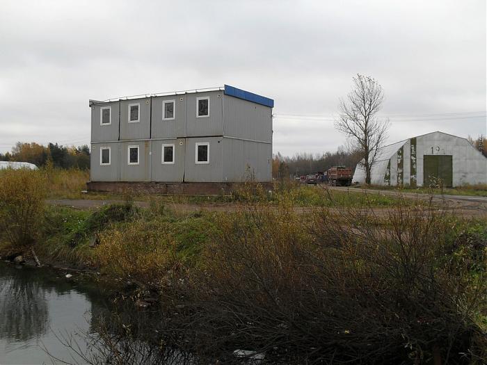
Site huts (Peniki)
Russia /
Leningrad /
Bolshaya Izhora /
Peniki
World
/ Russia
/ Leningrad
/ Bolshaya Izhora
, 9 km from center (Большая Ижора)
World / Russia / Leningrad
Nearby cities:
Coordinates: 59°54'52"N 29°38'58"E
- Slaughterhouse (abandoned) 0.2 km
- Villa Faros 2.3 km
- Fish processing plant ("Baltiyskiy Bereg") 0.4 km
- Pond 1.4 km
- A118 Ring Road and 41А-007 highway (Krasnoflotskoye shosse) interchange 1.5 km
- Bronka railway station 1.5 km
- Canteen (abandoned) 1.6 km
- Batch plant (abandoned) 1.8 km
- Sanatorium 2.4 km
- St.Petersburg Dam - South section 6.4 km
- Petrodvortsovy District 13 km
- Water area of the Gulf of Finland northwest of Kotlin Island 17 km
Fish processing plant ("Baltiyskiy Bereg")
Pond
A118 Ring Road and 41А-007 highway (Krasnoflotskoye shosse) interchange
Bronka railway station
Canteen (abandoned)
Batch plant (abandoned)
Sanatorium
St.Petersburg Dam - South section
Petrodvortsovy District
Water area of the Gulf of Finland northwest of Kotlin Island