Zapolyarnyy
Russia /
Murmansk /
Zapolyarnyy /
World
/ Russia
/ Murmansk
/ Zapolyarnyy
, 2 km from center (Заполярный)
World / Russia / Murmansk
city
Add category

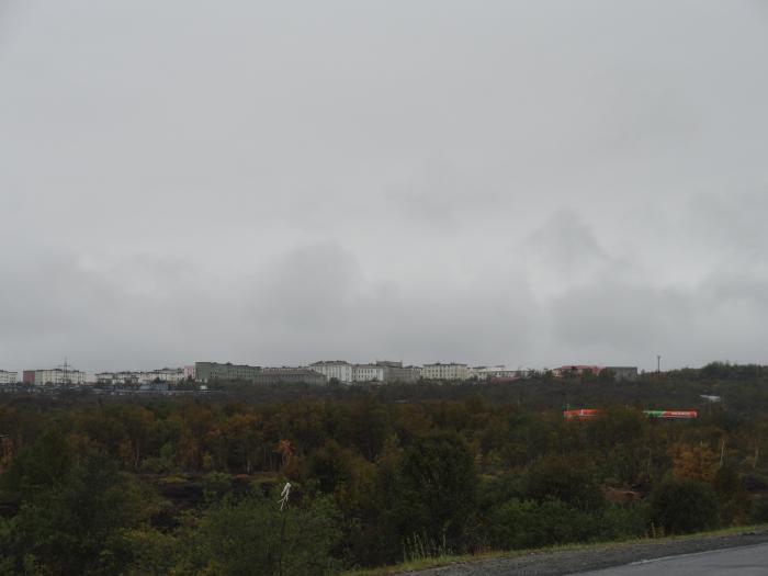
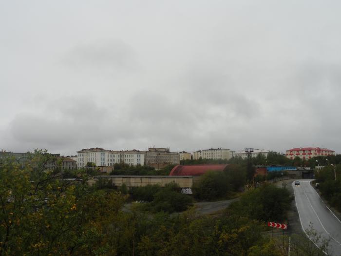
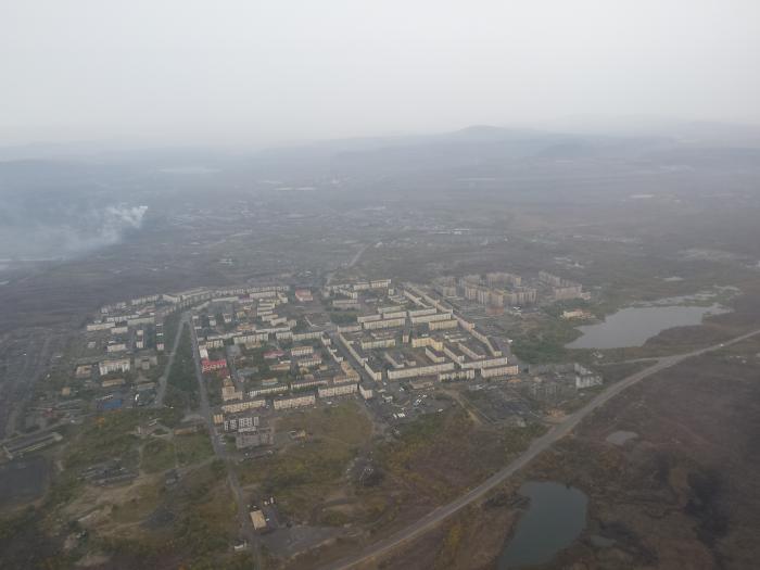
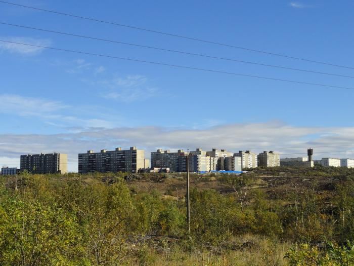
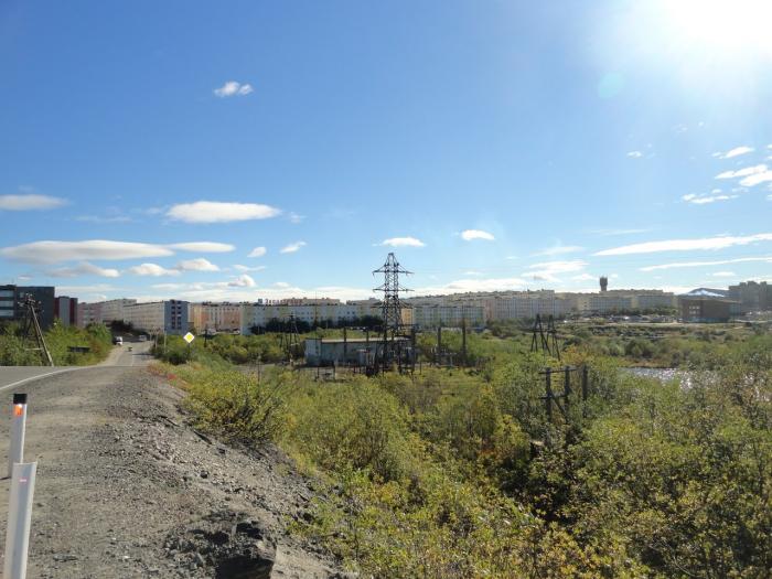
Town in Pechengsky District of Murmansk Oblast, Russia, located on the Kola Peninsula, 10 kilometers (6.2 mi) northeast of the Kola Superdeep Borehole project. Population: 15,825 (2010 Census). The area where the town is located belonged to Finland in 1920–1944. It was founded in 1956 as Zhdanovsk (Жда́новск) and was granted work settlement status and later given its present name. On February 1, 1963, by the Decree by the Presidium of the Supreme Soviet of the RSFSR, Zapolyarny was elevated in status to that of a town of district significance.
Wikipedia article: http://en.wikipedia.org/wiki/Zapolyarny,_Murmansk_Oblast
Nearby cities:
Coordinates: 69°25'22"N 30°49'2"E
- Murmansk 92 km
- Monchegorsk 181 km
- Kandalaksha 254 km
- Tromsø 464 km
- Harstad 574 km
- Naryan-Mar 915 km
- Vorkuta 1351 km
- Labytnangi 1478 km
- Dudinka 2088 km
- Igarka 2208 km
- Stadium 1 km
- A pond at the sanatorium 1 km
- Zapoliarnaya railway station 1.8 km
- Pechenganickel factory. Zapolyarnyy department 2 km
- Haukilampi 2.3 km
- Sovkhoz "Severniy" 3.7 km
- Palojarvi 4.8 km
- WWII plane wrecks 8.7 km
- Majarvi 10 km
- Tardenjarvi 11 km