Itanhaém
Brazil /
Sao Paulo /
Itanhaem /
World
/ Brazil
/ Sao Paulo
/ Itanhaem
World / Brazil / São Paulo / Itanhaém
city, municipality, draw only border
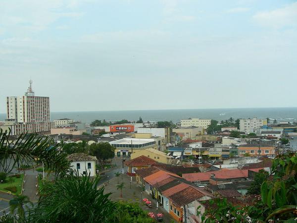
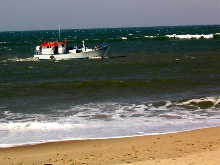
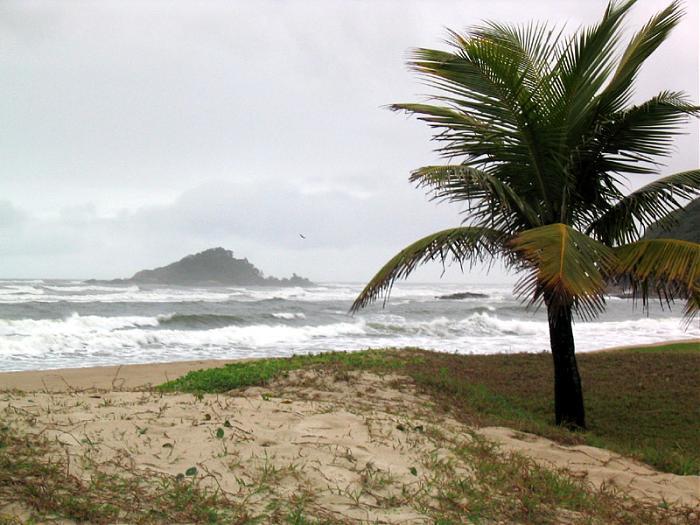
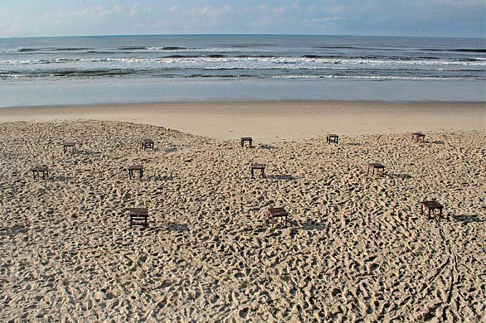
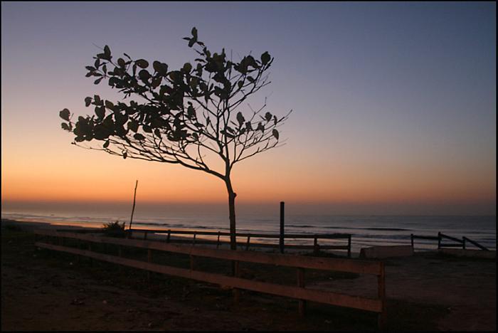
Itanhaém is a municipality in the state of São Paulo in Brazil. The population in 2004 is 85,294, the density is 142.39/km² and the area is 599 km². The elevation is 0 m. This place name comes from the Tupi word itá-nha'ẽ, meaning the plate of rock. Some other tupinologists (people who study the ancient language Tupi, spoken by the natives back in the 16th century) believe itanhaém means, ita = rock - and nhaém = that cries; due to the rocky coast and the waves that constantly hit it. Itanhaém was among the hottest tour destinations in the State of São Paulo, back at the end of the 70's. Located in the Southeastern Brazil, the region is surrounded by the tropical Atlantic Forest that shelters many tropical animals such as colorful birds named Saíra (many subspecies) and animals such as Onças (Brazilian Jaguars), Quatis and Saruês. Itanhaém has many beautiful beaches: Downtown beach (Centro or Boca da Barra), Fishermen's Beach (Praia dos Pescadores); Dream Beach (Praia do Sonho); Indians' Well Beach (Poço dos Índios), Peruíbe Beach (Praia do Peruíbe) and Seagull Beach (Praia do Gaivota). Other beaches are located in Peruíbe (20 km southwards) and in the Juréia Natural Reserve, the most preserved and biggest sanctuary of The Atlantic Forest in Brazil, sheltering endemic species such as the Purple Head Parrot or Papagaio da Cara Roxa as it is named in Brazilian Portuguese. The most important river in the region is located in Itanhaém (Itanhaém River) and its tributary streams such as the Black and the White rivers make sinuous paths into the forest towards the foot of the Sea Mountain Range where there are many, if not, hundreds of waterfalls. Itanhaém can be reached in 1 1/2 hours by car from the city of São Paulo (130,000 km²), the capital of the State of São Paulo.
Wikipedia article: http://en.wikipedia.org/wiki/Itanhaém
Nearby cities:
Coordinates: 24°5'44"S 46°48'56"W
- São Paulo 82 km
- Cananeia 162 km
- Eldorado 168 km
- Itapetininga 179 km
- Capão Bonito 183 km
- Itapeva 249 km
- Botucatu 267 km
- Campo Largo 323 km
- Ponta Grossa 362 km
- Palmeira 381 km
- Fazenda Caiçara Airfield (SDCR) 3.2 km
- Curucutu Administrative Center - Serra do Mar State Park 6 km
- Runway 15/33 7.6 km
- Itanhaem Airport 7.7 km
- Cemetery 10 km
- Supermercado Comprebem 10 km
- Atacadão 10 km
- Feira de Artesanato Benedito Calixto 10 km
- Bridge above de river Itanhaém 10 km
- Fisherman's Beach 11 km