Güímar
Spain /
Santa Cruz de Tenerife /
Arafo /
Calle de San Juan
World
/ Spain
/ Santa Cruz de Tenerife
/ Arafo
World / Spain / Islas Canarias / Las Palmas / n.a. (144)
town, municipality

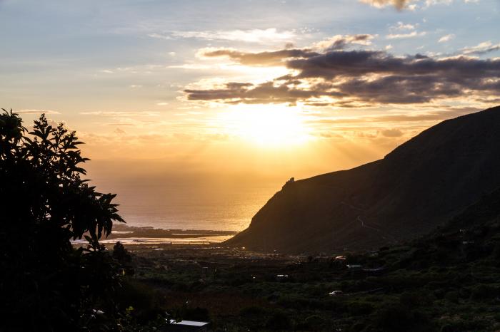
Güímar (Spanish pronunciation: [ɣwiˈmaɾ]) is the name of a municipality, town, and valley in the eastern part of the Spanish island of Tenerife, one of the Canary Islands, and part of Santa Cruz de Tenerife (province). The municipality and extends for 1,029 square kilometers from the mountainous interior to the beaches on the Atlantic, and borders the municipalities of La Orotava, Arafo, and Fasnia. Its estimated population is 18,589 (2013). The TF-1 motorway passes through the municipality.
The municipality is famous for its Guanche Pyramids. It is also the location of the Barranco de Badajoz. A portion of its volcanic landscape has been set aside as the Reserva Natural del Malpaís de Güímar, its highest point being Montaña Grande.
The municipality is famous for its Guanche Pyramids. It is also the location of the Barranco de Badajoz. A portion of its volcanic landscape has been set aside as the Reserva Natural del Malpaís de Güímar, its highest point being Montaña Grande.
Wikipedia article: https://en.wikipedia.org/wiki/Güímar
Nearby cities:
Coordinates: 28°19'14"N 16°24'53"W
- La Aldea de San Nicolás 66 km
- Artenara 70 km
- Gáldar 71 km
- Tejeda 73 km
- Mogán 73 km
- San Bartolomé de Tirajana 82 km
- Telde 92 km
- Ingenio 94 km
- Santa Lucía de Tirajana 94 km
- Aguimes 95 km
- Pyramids of Güímar 0.2 km
- Guimar Magnetic Observatory 2.7 km
- Guimar 3.8 km
- Dinosol Plataforma logistica Güimar 5.1 km
- Las Lagunetas 11 km
- Tenerife 11 km
- La Quinta Park 14 km
- Playa de Santa Ana ó Playa del Ancón 14 km
- unique-homes.eu 15 km
- Teide National Park 20 km