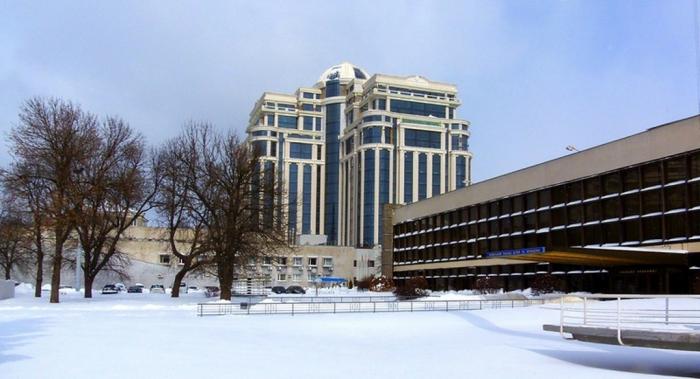
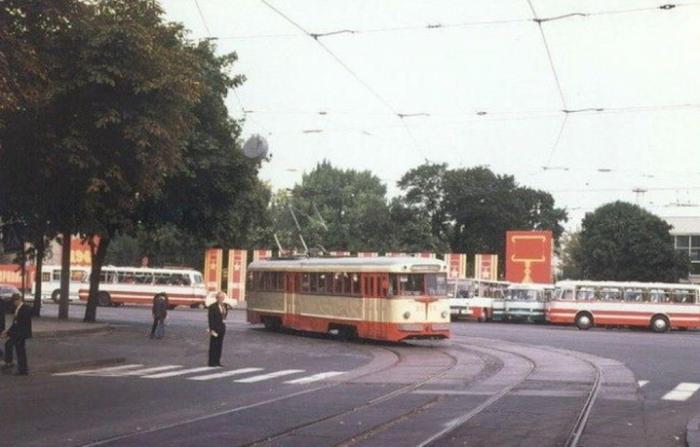
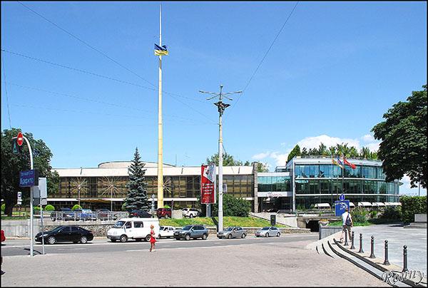
Ploshcha Slavy ('Glory Square') (Kyiv)
Ukraine /
Kyyiv /
Kiev /
Kyiv
World
/ Ukraine
/ Kyyiv
/ Kiev
, 4 km from center (Київ)
World / Ukraine / Kiev City
square, invisible
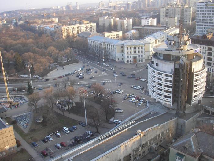
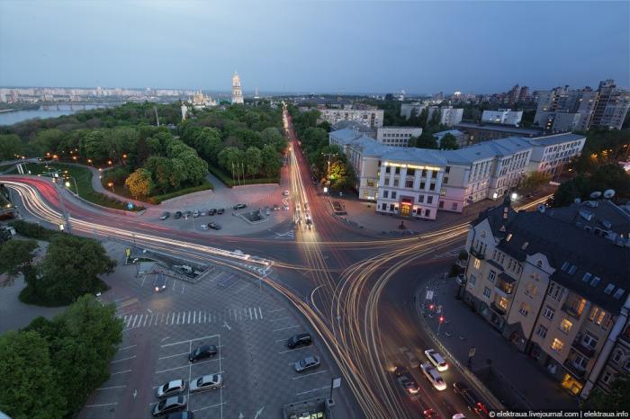


Nearby there is the highest point in Kyiv: above the Dnieper 100 m.
This ancient area became a city square with the construction of the Mykilskyi Military Church here in 1690-1696.
This ancient area became a city square with the construction of the Mykilskyi Military Church here in 1690-1696.
Nearby cities:
Coordinates: 50°26'26"N 30°33'2"E
- Maidan Nezalezhnosti 2.4 km
- Square named after Ivan Mykolaychuk 3.2 km
- Lybidska ploshcha 3.6 km
- Kontraktova Ploshcha 3.7 km
- Demiivska Square 4.4 km
- Darnytska ploshcha 5.2 km
- Odeska Square 10 km
- Soborna Ploshcha (Cathedral Square) 79 km
- Old Boulevard 136 km
- ploshcha Maydan Vyzvolennya 137 km
- Askold's Grave Park 0.8 km
- Pechersk Citadel of Kyiv Fortress 0.9 km
- Central Park 1 km
- Klov 1.2 km
- Pecherskyi raion 1.2 km
- Lypky 1.4 km
- Pechersk 1.8 km
- Dniprovskyi raion 6.8 km
- Holosiivskyi raion 13 km
- Kaniv Reservoir 45 km