Slavgorod (air base)
Russia /
Altaj /
Slavgorodskoye /
World
/ Russia
/ Altaj
/ Slavgorodskoye
, 4 km from center (Славгородское)
World / Russia / Altay
airport, former air force base
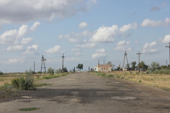
Slavgorod (also known as Slavgorod South) is an air base in Russia located 5 km south of Slavgorod. It is an abandoned, decaying airfield that has a large taxiway pattern. The latest Google Earth high-resolution imagery accessed in 2006 shows that the aerodrome is unusable and is in a severe state of decay.
Wikipedia article: http://en.wikipedia.org/wiki/Slavgorod_(air_base)
Nearby cities:
Coordinates: 53°3'8"N 78°38'18"E
- Shadrinsk Air Base 1022 km
- Yugorsk 2 1305 km
- Dombarovskiy Airbase 1334 km
- Sokol air base 1379 km
- Chirchik Air Base 1452 km
- Beleuli North Air Base 1842 km
- Savatiya Air Base 2093 km
- Lyambir Air Base 2192 km
- Lebyazhye air base 2312 km
- Former USSR SA air force base "Shiraki" 2732 km
- Arman store 3.5 km
- Slavgorodskoye secondary school 4.2 km
Comments