Qasr Ibrim
| island, ruins, ruined castle, archaeological site
Sudan /
as-Samaliyah /
Wadi Hhalfa /
World
/ Sudan
/ as-Samaliyah
/ Wadi Hhalfa
, 107 km from center (وادي حلفا)
World / Egypt
island, ruins, ruined castle, archaeological site
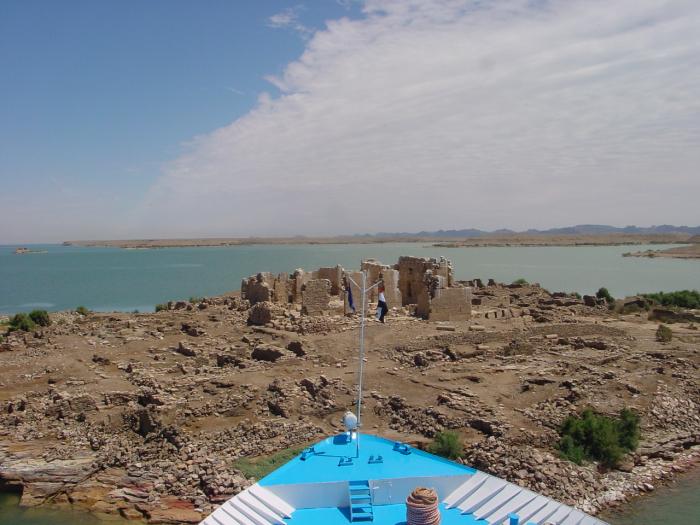
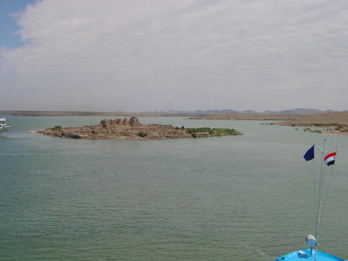
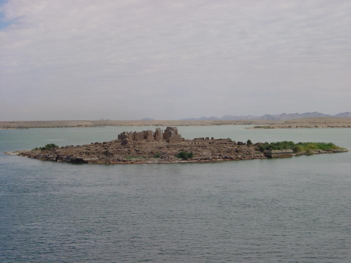
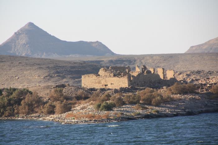
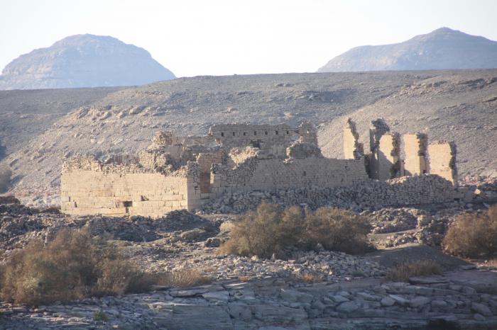
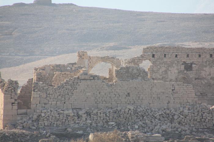
Arabic: قصر ابريم Coptic: Ⲡⲣⲓⲙ (Prim) is an archaeological site in Lower Nubia. It was originally a major city perched on a cliff above the Nile, but the flooding of Lake Nasser after the construction of the Aswan High Dam transformed it into an island and flooded its outskirts. Qasr Ibrim is the only major archaeological site in Lower Nubia to have survived the Nile floods. Both prior to and after the Nile floods, it has remained a major site for archaeological investigations
Wikipedia article: http://en.wikipedia.org/wiki/Qasr_Ibrim
Nearby cities:
Coordinates: 22°38'59"N 31°59'33"E
- Yoka island 27 km
- hesa island 177 km
- Sehail Island 181 km
- Elephantine Island 185 km
- Jazirat Zirnikh Island 297 km
- جزيرة طرح النيل 318 km
- Maritim Jolieville Crocodile Island 342 km
- jazeret alremaly 383 km
- Karaman Island 440 km
- Shoraniya Island 454 km
- Great Pumping Station 14 km
- Mubarak Pumping Station 14 km
- عديله حسن فراج علي 14 km
- School 15 km
- Amada temple 29 km
- THE PATH FROM THE ORIGINAL LOCATION 29 km
- Temple of Derr 29 km
- Tomb of Pennut 29 km
- Sheik Zayed Canal 36 km
- Lake Nasser 47 km