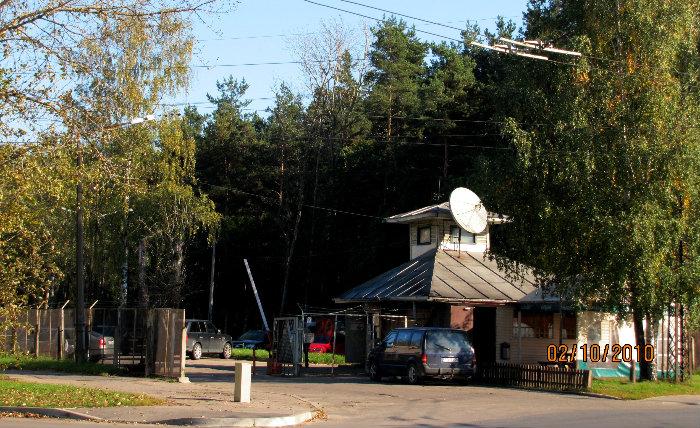
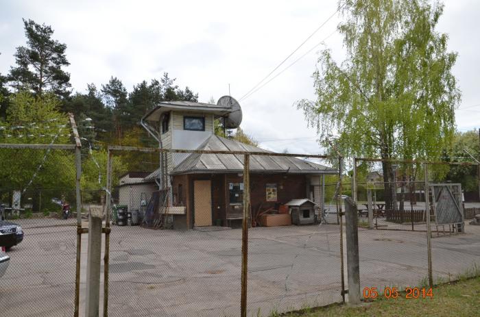
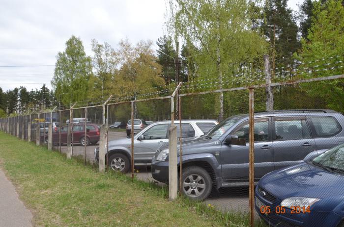
Car parking LST - Co (Riga)
Latvia /
Riga /
Riga
World
/ Latvia
/ Riga
/ Riga
World / Latvia / Riga
historical layer / disappeared object
Add category
Nearby cities:
Coordinates: 56°57'59"N 24°11'47"E
- Gardening Rīga 2.2 km
- Former Soviet Army communication regiment 4.2 km
- Railway Station Rīga-Krasta 6.1 km
- Sand pile 6.8 km
- Former Riga's Agricultural Mehanization Factory 7.8 km
- Concetration Camp (a.k.a Slokas 60) 8.1 km
- Remains of former railway 14 km
- Former soviet SAM battery site S-300P 15 km
- Rockets' lounching pad/ position 19 km
- Former soviet armed forces refueling base. 26 km
- Garage cooperative Purvciems-1 0.5 km
- Garage cooperative Purvciems-3 0.5 km
- Rigas 80. secondary school territory 1 km
- Biķernieki Forest 1 km
- Teika 1.3 km
- Purvciems 1.4 km
- Biķernieki autorace track 1.5 km
- Dreiliņi 2.6 km
- Jugla 3.7 km
- Garkalne municipality 12 km