Vladimir Bay
| water
Russia /
Primorje /
Olga /
World
/ Russia
/ Primorje
/ Olga
, 27 km from center (Ольга)
World / Russia / Primor'ye
water, bay, invisible
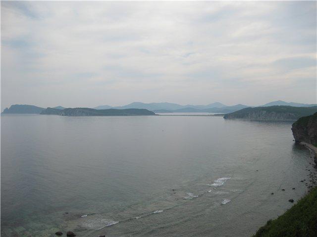
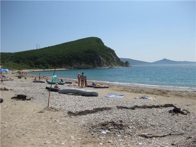
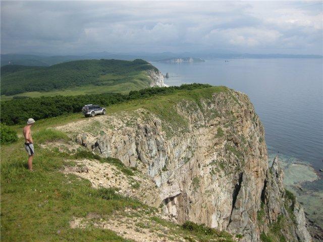
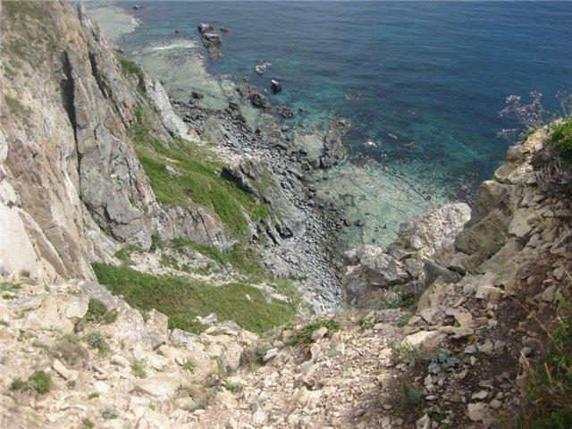
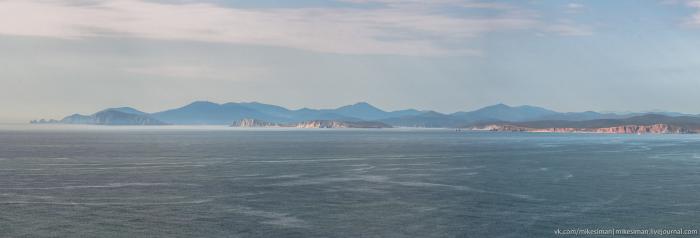
Vladimir Bay juts out into the mountainous north-western coast of the mainland between Cape Vatovskogo (43 ° 54 'N, 135 ° E MO) and placed in 1.4 miles NNW from Cape Balyuzsk him. With the S and N input in gulf bounded by peninsulas and Vatovskogo Balyuzek. Rudanovskaya peninsula, protruding from the west coast, the Gulf of Vladimir is divided into two parts: the northern and southern. The northern part is called the North Bay and South - South Bay. Directly to the NW of the peninsula Rudanovskaya in west coast bay bay juts mean or West. Shores of the bay formed by the slopes of the surrounding mountains, go down to the bay and break to the water in the form of steep rocky cliffs. Beach - flat and sandy in places only outlet to the Gulf of river valleys and streams, much dismembering coastal topography. The largest rivers are here Tumanovka and timothy, respectively, flowing into the vertices of the bays of North and South. Ground at the entrance to the Gulf of Vladimir sand, and bays of its mostly mud, sometimes encountered gravel, stone and sand. The entrance to the Gulf of Vladimir courts civilian agencies DENIED.
Nearby cities:
Coordinates: 43°54'52"N 135°29'22"E
- Ol'ga Bay 29 km
- Rynda Inlet 118 km
- Suttsu-wan Bay 399 km
- Uchiura-wan Bay 415 km
- Ishikari Bay 447 km
- Hakodate-wan Bay 478 km
- Mutsu Bay 526 km
- Aniva Bay 604 km
- Busse laguna 677 km
- Nemuro Bay 781 km
- Cruiser "Izumrud" wreck 2 km
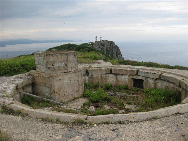
- Vatovskogo Penensula 3.2 km
- Severnaya Bay 3.6 km
- затонувшие корпуса судов и подводных лодок 3.7 km
- Бывшая база ТОФ "Ракушка" - 29 дивизия подводных лодок. 4 km
- SA-5 missile site 5.1 km
- Казарма РТБ в/ч 90880 9 km
- Bogatir Point 9 km