LO 37 (Studeněves)
Czech Republic /
Stredocesky /
Studeneves /
Studeněves
World
/ Czech Republic
/ Stredocesky
/ Studeneves
Svět / Česko /
vojenský
Přidat kategorii
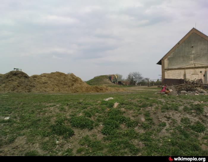
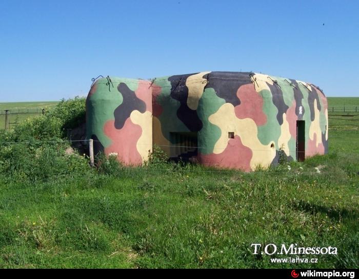
A-3/9/A-200Z
dbase.ropiky.net/dbase.php?objekt=1075718697
dbase.ropiky.net/dbase.php?objekt=1075718697
Nejbližší města:
Souřadnice: 50°13'28"N 14°2'29"E
- Lodenický rybník 8.3 km
- Rozdělovský les 8.8 km
- Červený rybník 10 km
- Turyňský rybník (Záplavy) 10 km
- Rozdělov 10 km
- Les 12 km
- Bucký rybník 15 km
- Vodní nádrž Klíčava 19 km
- Hřivice 23 km
- Rakovník - historické jádro města 26 km