Maja e Këndrevicës (2121 m)
Albania /
Tepelene /
Memaliaj /
World
/ Albania
/ Tepelene
/ Memaliaj
World / Albania / Vlorë / Vlorës
mountain, summit
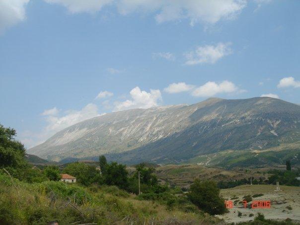
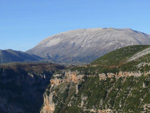
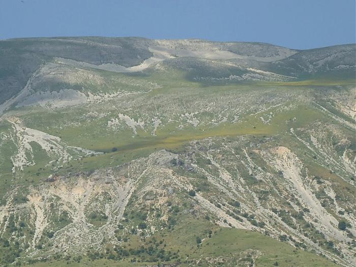
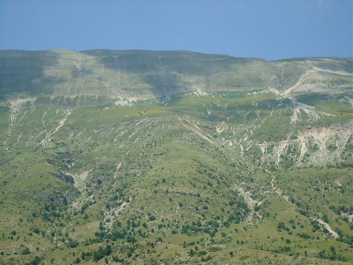

Maja e Këndrevicës is a mountain in Gjirokastër County, southern Albania. It is 15 km west of the town Tepelenë and 36 km southeast of the city Vlorë. At 2,121 m elevation, it is the highest point of the mountain range Mali i Gribës, which stretches between the valleys of the rivers Vjosë and Shushicë.
Wikipedia article: http://en.wikipedia.org/wiki/Maja_e_Këndrevicës
Nearby cities:
Coordinates: 40°17'13"N 19°51'22"E
- Melesin Mountain (1411 m) 62 km
- Mount Elati 186 km
- Μt. Fteri 189 km
- Mount Olympus 191 km
- Mt Liakoura 195 km
- Velouchi 225 km
- Dahret Adeloun 1081 km
- Ticherirte 1355 km
- Bikku Bitti 2038 km
- Mount Tahat 2320 km
- Kurvelesh 5.7 km
- Mount Gribë 8.8 km
- Tepelenë District 10 km
- Deliaj 11 km
- Hundëxhep 12 km
- Hor 14 km
- Vurgjith 15 km
- Qafa e Koçiut 16 km
- Himarë Municipality 22 km
- Vlorë District 24 km