Lajas
Puerto Rico /
Mayaguez-Aguadilla /
Lajas /
Manuel "Pito" Pagán Ramírez Avenue (PR-116)
World
/ Puerto Rico
/ Mayaguez-Aguadilla
/ Lajas
World / Puerto Rico
city, village, municipality
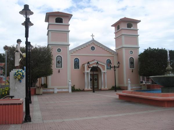
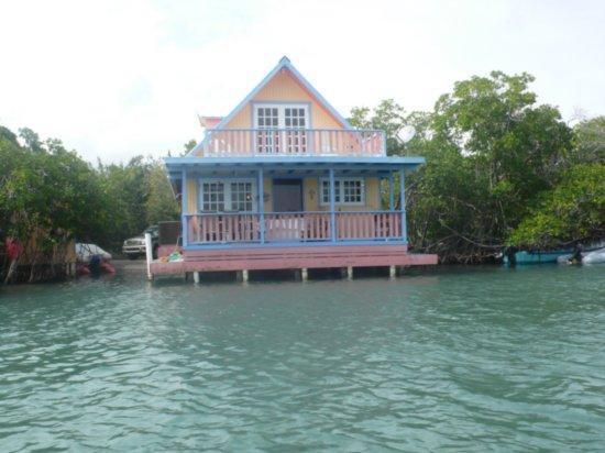
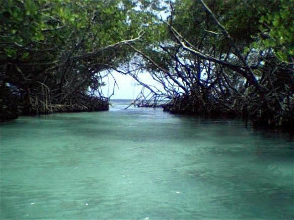
This is where the seat of government for the city of Lajas is located at. It emcompasses various smaller areas, such as "La Haya" and "La Parguera"
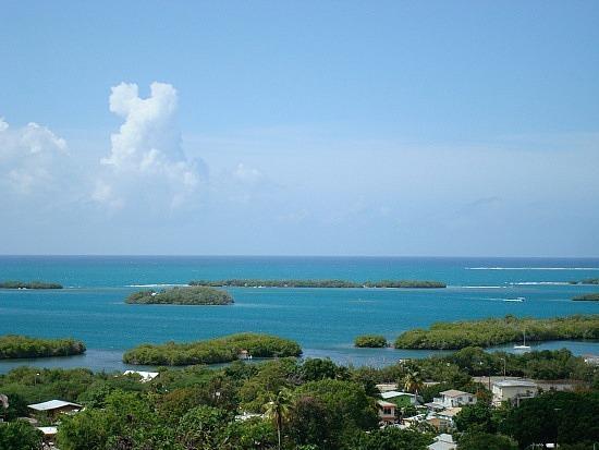
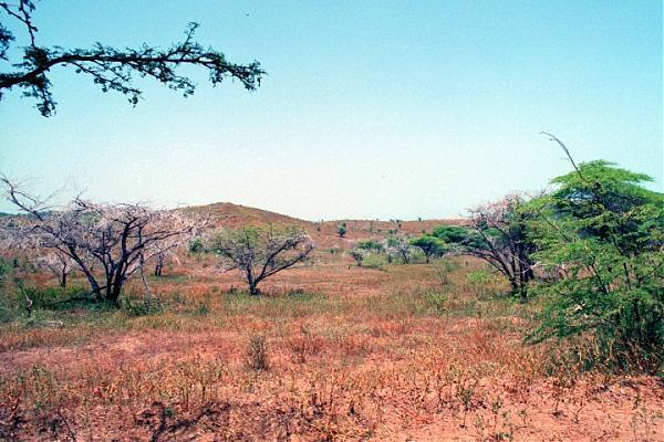
Located at the Lajas Valley, the town was founded in 1883 by the Xueta Teodoro Jacome Pagan. Xuetes (Chuetas) were Majorcan Jews (Sephardi Catalan Jews). Some families changed their names from Jacome to the Castilian form Santiago (Saint James the greater). Jacome is the Mallorquin form of James (Ia'akov). Catalonian Jews from Majorca were part of the early settlers in the South of (Boriken) Puerto Rico. The village of La Parguera (founded in 1940 by Andrew Breedlove[citation needed] and fishermen from Guánica and Cabo Rojo) is a popular tourist destination to see the famous Bahía Fosforescente (Phosphoresent Bay) and its keys and islet's.
Located at the Lajas Valley, the town was founded in 1883 by the Xueta Teodoro Jacome Pagan. Xuetes (Chuetas) were Majorcan Jews (Sephardi Catalan Jews). Some families changed their names from Jacome to the Castilian form Santiago (Saint James the greater). Jacome is the Mallorquin form of James (Ia'akov). Catalonian Jews from Majorca were part of the early settlers in the South of (Boriken) Puerto Rico. The village of La Parguera (founded in 1940 by Andrew Breedlove[citation needed] and fishermen from Guánica and Cabo Rojo) is a popular tourist destination to see the famous Bahía Fosforescente (Phosphoresent Bay) and its keys and islet's.
Wikipedia article: http://en.wikipedia.org/wiki/Lajas,_Puerto_Rico
Nearby cities:
Coordinates: 18°0'19"N 67°2'14"W
- Utuado 44 km
- Guayana City 1156 km
- Boa Vista 1810 km
- Calçoene 2392 km
- Amapá 2492 km
- Ferreira Gomes 2556 km
- Cutias 2571 km
- Macapá 2611 km
- Santana 2613 km
- Itaubal 2622 km
- Parguera 2 km
- La Parguera 3.5 km
- Papayo 3.6 km
- La Parguera Nature Preserve 3.7 km
- Lajas Arriba 4.4 km
- Pueblo 5.1 km
- Plata 6.2 km
- Jardines de Cuesta Blanca 7.1 km
- Ancones 7.3 km
- Las Guaras 8.8 km