Friendship Bridge
Uzbekistan /
Surhondar /
Termiz /
World
/ Uzbekistan
/ Surhondar
/ Termiz
, 18 km from center (Термез)
World / Afghanistan / Balkh
railway bridge, road bridge, 1982_construction
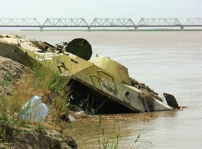
The Friendship Bridge, also at times refered by some as the "Freedom Bridge" runs across the Amu Darya between Uzbekistan and Afghanistan. While many people say it runs from Termiz into Afghanistan, Termiz is actually a few Km away and the town closest is Mangusar.
"While Uzbekistan shares only a 137 km long border with Afghanistan, the Friendship Bridge built by the Soviets in the 1980s and the relatively well-equipped river transport system by barges remain a key link. Termez was the main supply route for the Red army during the Soviet invasion of Afghanistan in the 1980’s." - www.irinnews.org/report.asp?ReportID=31073
The bridge is 820 Meters long and 15 Meters wide, and exists along this corridor which is the only bridge in the region carrying both rail and road traffic, crossing the Amu Darya River.
Worth noting is that there's just one km of railway track that runs across into the Afghanistan side past the Friendship Bridge and in the Hairatan river port.
"Soviet troops cross over a bridge from Afghanistan into the town of Termez, USSR, during the last day of the withdrawal of soviet forces from Afghanistan, February 15, 1989. The armoured personnel carrier flies the forces’ colours. The withdrawiang soldiers were given a warm welcome by family members and military and local officials."
From "Afghanistan: Lifting the Veil" by Reuters Staff pulled from sts-dev.anu.edu.au/rugsofwar/?p=272 (Interesting pics there as well.)
www.ajg41.plus.com/images/rail/af-friendshipbridge01.jp...
www.ajg41.plus.com/images/rail/af-friendshipbridge02.jp...
www.irinnews.org/images/originals/211212b.JPG (from the Afghan side looking north)
en.wikipedia.org/wiki/Afghanistan-Central_Asia
Wikipedia article: https://en.wikipedia.org/wiki/Afghanistan–Uzbekistan_Friendship_Bridge
Nearby cities:
Coordinates: 37°13'44"N 67°25'39"E
- Road bridge 201 km
- Road bridge 384 km
- dam 440 km
- Road bridge 471 km
- Road bridge 482 km
- Road bridge 484 km
- Road bridge 484 km
- Road bridge 485 km
- Bridge across the Karakum channel 489 km
- Road bridge 492 km
- Hairatan City Customs 0.6 km
- Railroad Station Galaba 4.5 km
- Firing Range Military 5.7 km
- Engineering Battalion 6.1 km
- Firing Range Military 6.4 km
- Tank Firing Range 6.7 km
- Tank Firing Range 7.9 km
- Taxiway 12 km
- Runway 07/25 12 km
- Termez Airport 12 km
Comments