Airborne Walk
USA /
Georgia /
Fort Benning South /
World
/ USA
/ Georgia
/ Fort Benning South
World / United States / Georgia
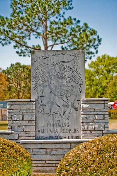
The Airborne Walk was dedicated April 17th, 1986, by then Secretary of the Army John S. Marsh, Jr. It serves as a tribute to every person who has been or ever will be Airborne qualified. It also serves as a memorial to paratroopers who have made the ultimate sacrifice in the service of their country. The Airborne Walk is configured in the shape of the basic airborne wings with 28 monuments dedicated to the airborne units of the past, present, and future. A centerpiece monument stands in the middle of the walk with the names of all the original airborne test platoon members.
Also, if you hacked the Airborne course anytime after 1986, you got your bloodwings here.
Also, if you hacked the Airborne course anytime after 1986, you got your bloodwings here.
Nearby cities:
Coordinates: 32°21'16"N 84°58'9"W
- Fryar Drop Zone 7.9 km
- Ellerslie, Georgia 34 km
- Ridgeway, Georgia 38 km
- Kingsboro, Georgia 42 km
- Planted Pine B.C.W.M.A. 64 km
- Tuskegee National Forest 69 km
- Waverly, Alabama 73 km
- Barnes Crossroads, Georgia 74 km
- Five Points, AL 83 km
- Daviston, Alabama 103 km
- Fort Benning (Main Post) 1.4 km
- Fort Benning Golf Course 2.6 km
- Lawson Army Airfield (LSF) 2.9 km
- Fort Mitchell Historic Site 4.8 km
- McGraw Village 6.6 km
- Kelley Hill 7.1 km
- Fryar Drop Zone 9 km
- Fort Benning 14 km
- Chattahoochee County, Georgia 14 km
- Muscogee County, Georgia (Columbus) 18 km
Comments