Rice Lake
Canada /
Ontario /
Peterborough /
World
/ Canada
/ Ontario
/ Peterborough
World / Canada / Ontario / Peterborough
lake
Add category
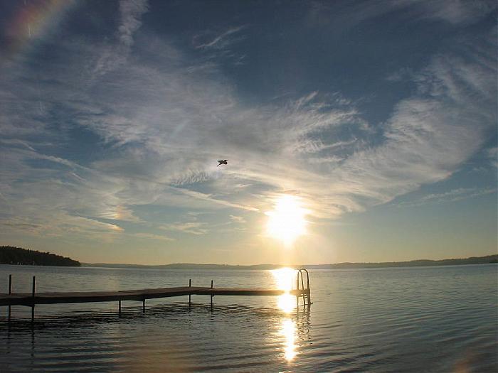
Rice Lake is the largest of the Kawartha lakes. It is part of the Trent-Severn Waterway, with the Otonabee on the west and the Trent on the east. The name comes from the extensive wild rice fields that used to cover much of this shallow lake.
Wikipedia article: http://en.wikipedia.org/wiki/Rice_Lake_(Ontario)
Nearby cities:
Coordinates: 44°10'37"N 78°11'12"W
- Buckhorn Lake 47 km
- Pigeon Lake 53 km
- Sturgeon Lake 61 km
- Chandos Lake 75 km
- Mazinaw Lake 116 km
- Big Gull Lake 118 km
- Lake Ontario 129 km
- Crotch Lake 136 km
- Charleston Lake 174 km
- Mississippi Lake 188 km
- Whispering Pines Cottages, Keene 5.8 km
- Township of Otonabee - South-Monaghan 7.7 km
- Township of Hamilton 13 km
- Township of Alnwick-Haldimand 14 km
- East Forest, ON 19 km
- Township of Cavan-Millbrook&North-Monaghan 22 km
- Township of Asphodel-Norwood 23 km
- Municipality of Port Hope 24 km
- Township of Smith-Ennismore-Lakefield 30 km
- Township of Douro-Dummer 31 km