Howick Historical Village
New Zealand /
Auckland /
Manukau /
World
/ New Zealand
/ Auckland
/ Manukau
World / New Zealand / Auckland / Manukau

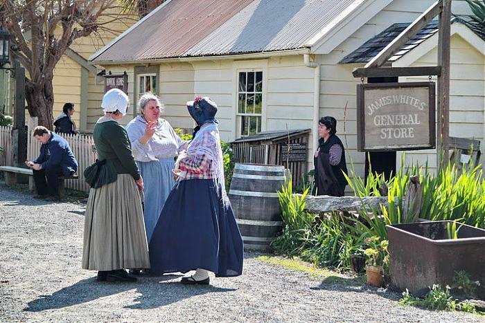


Village of old buildings, school houses, churches for general education. Often primary school children are taken here to experience life as it was a century ago.
Wikipedia article: http://en.wikipedia.org/wiki/Howick_Historical_Village
Nearby cities:
Coordinates: 36°54'26"S 174°54'11"E
- Ben Lomand Drive Industrial Park 0.9 km
- Burswood South [suburb] 2.3 km
- Greenmount [suburb] 2.4 km
- Highbrook [suburb] 3.2 km
- Kerwyn [suburb] 4 km
- Talbot Park subdivision 5.2 km
- Sylvia Park [suburb] 6.1 km
- Pylon Reserve land 6.5 km
- Otahuhu Town Centre 6.7 km
- Pre-European Portage Route 7.1 km
- Highland park [suburb] 0.8 km
- Pakuranga Heights [suburb] 1.4 km
- Half Moon Bay [suburb] 2.6 km
- Pakuranga [suburb] 2.9 km
- Tamaki River 3.6 km
- Point England [suburb] 4.2 km
- Bucklands Beach [suburb] 4.2 km
- Panmure [suburb] 4.3 km
- Glen Innes [suburb] 5.1 km
- Sylvia Park [suburb] 5.1 km