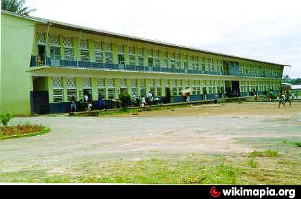
St. Edward's Secondary School (Freetown)
Sierra Leone /
Western /
Freetown
World
/ Sierra Leone
/ Western
/ Freetown
World / Sierra Leone / Western / Western Urban
school, secondary education
Nearby cities:
Coordinates: 8°29'22"N 13°14'48"W
- Freetown Secondary School For Girls (FSSG) 1.3 km
- The Annie Walsh Memorial School 2.2 km
- Albert Academy 2.3 km
- Sierra Leone Grammar School 2.5 km
- Bishop Johnson Secondary School 3.2 km
- The SOS Children's Village 4.7 km
- St Augustine Junior High School 16 km
- COMAHS 16 km
- Police Training School 17 km
- St Augustine Senior School 17 km
- Tengbeh Town 2 km
- Wilberforce 3 km
- Goderich City 8 km
- Lakka 10 km
- Calaba Towm 11 km
- Hastings 17 km
- Yema Island 18 km
- Western Area Forest Reserve 20 km
- Tasso Island 20 km
- Tumbi humi 30 km