Langeoog
| island
Germany /
Niedersachsen /
Langeoog /
World
/ Germany
/ Niedersachsen
/ Langeoog
World / Netherlands / Groningen
island
Add category
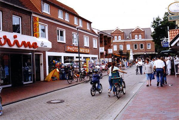


Langeoog is one of the seven inhabited East Frisian Islands at the edge of the Lower Saxon Wadden Sea in the southern North Sea, located between Baltrum Island (west), and Spiekeroog (east). It is also a municipality in the district of Wittmund in Lower Saxony in Germany. The name 'Langeoog' means 'Long Island' in the Low German dialect.
Langeoog's beach is 14 km long. Langeoog's actual size depends on the level of tide, which sinks and falls about 2.5 m in 6 hours.
Langeoog's beach is 14 km long. Langeoog's actual size depends on the level of tide, which sinks and falls about 2.5 m in 6 hours.
Wikipedia article: http://en.wikipedia.org/wiki/Langeoog
Nearby cities:
Coordinates: 53°44'23"N 7°32'50"E
- Mudflat hiking area Langeoog 1.4 km
- Flughafen Langeoog 3.3 km
- Langeoog Harbour 3.4 km
- Harbor West mole Head Light 3.5 km
- Lale Andersen memorial in Langeoog 4.6 km
- Marina of Dornumersiel 7.6 km
- Haus Seeluft - German North Sea Coast (East Frisia), Lower Saxony 8.9 km
- Wind turbine 10 km
- Mudflat hiking area Baltrum 10 km
- Road bridge 10 km