Mt. Tirad (Narvacan)
Philippines /
Ilocos /
Santa /
Narvacan
World
/ Philippines
/ Ilocos
/ Santa
World / Philippines / Ilocos Sur / Santa
mountain, invisible
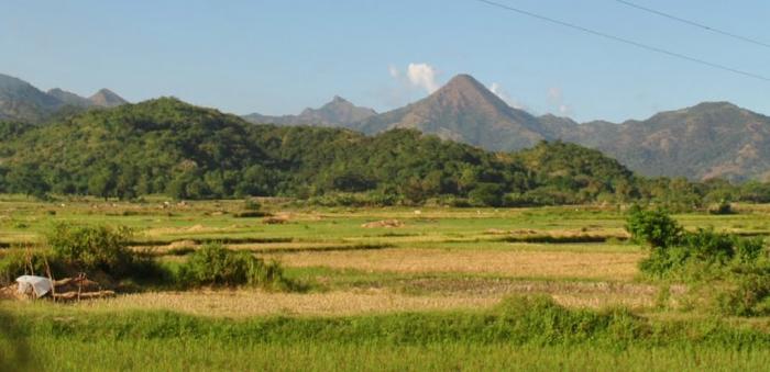
At the peak of this hill is the boundary of the province of Abra and Ilocos Sur
Nearby cities:
Coordinates: 17°29'58"N 120°27'57"E
- Mt. Madarang 34 km
- Mount Pusooy 36 km
- Mt. Monserrat 53 km
- Cordillera Central (Luzon) 53 km
- Mount Oten 79 km
- Mount Tagpaya 84 km
- Mt. Amuyao, Cordillera Range 86 km
- Jungle Mountain 146 km
- Dalupiri Hill 194 km
- Babuyan Island 276 km
- Bim-maka 1.6 km
- Northern Luzon Heroes Hill National Park 1.8 km
- Kakaldingan 2.5 km
- Magsaysay 3.2 km
- Cabaruyan 3.2 km
- WW2 Japanese camps 3.3 km
- Carsuan 3.3 km
- South Tetas de Santa 3.5 km
- Poro Island 6.7 km
- Ilocos Sur 28 km