County of Brant, Ontario (Brantford, Ontario)
Canada /
Ontario /
Brantford /
Brantford, Ontario
World
/ Canada
/ Ontario
/ Brantford
World / Canada / Ontario / Brant
municipality, draw only border
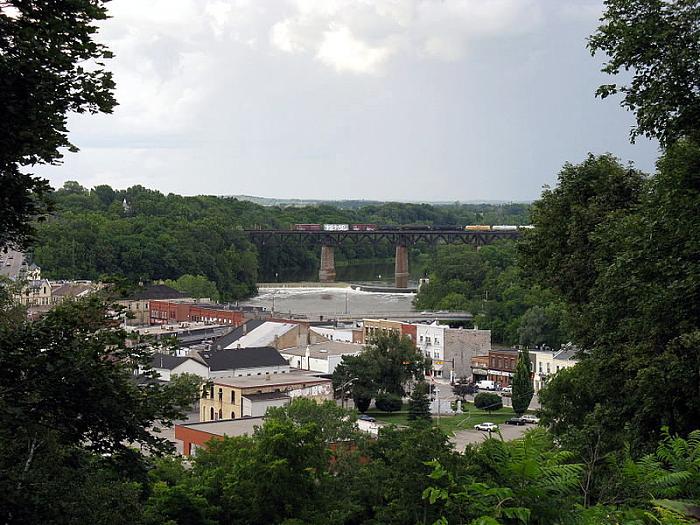


County of Brant, Ontario was formerly part of the historic political division known as Brant County. It was re-organized in 1998, with Brantford continuing a seperated municipality with the status of a city. The other former townships and towns of Brant County were merged to form a municipality under the name 'County of Brant' having the status of a municipality much like the Municipality of Chatham-Kent.
Official website: www.brant.ca/
Official website: www.brant.ca/
Wikipedia article: http://en.wikipedia.org/wiki/County_of_Brant
Nearby cities:
Coordinates: 43°8'44"N 80°17'47"W
- Haldimand County, Ontario 9 km
- Norfolk County, Ontario 39 km
- Huron East, Ontario 125 km
- Chatham-Kent, Ontario 190 km
- North Bruce Peninsula, Ontario 263 km
- Municipality of Tweed 293 km
- Municipality of Whitestone 302 km
- Municipality of Hastings Highlands 306 km
- Municipality of Killarney 359 km
- Municipality of Neebing 934 km
- Hartmann Canada 0.3 km
- Waterworks Park 0.5 km
- Brant Conservation Area 0.8 km
- W Ross MacDonald School 1.2 km
- D'Aubigny Creek Park 1.5 km
- Brantford Golf and Country Club 1.9 km
- Telephone City Aggregates 2.6 km
- Ferrero Rocher 3 km
- 90-99 Savannah Oaks Drive 3.3 km
- Brantford Airport 3.9 km