Ku La (4.880 m)
India /
Arunachal Pradesh /
Tezu /
World
/ India
/ Arunachal Pradesh
/ Tezu
Världen / Volksrepublik China / Qinghai /
Bergpass
Kategorie hinzufügen
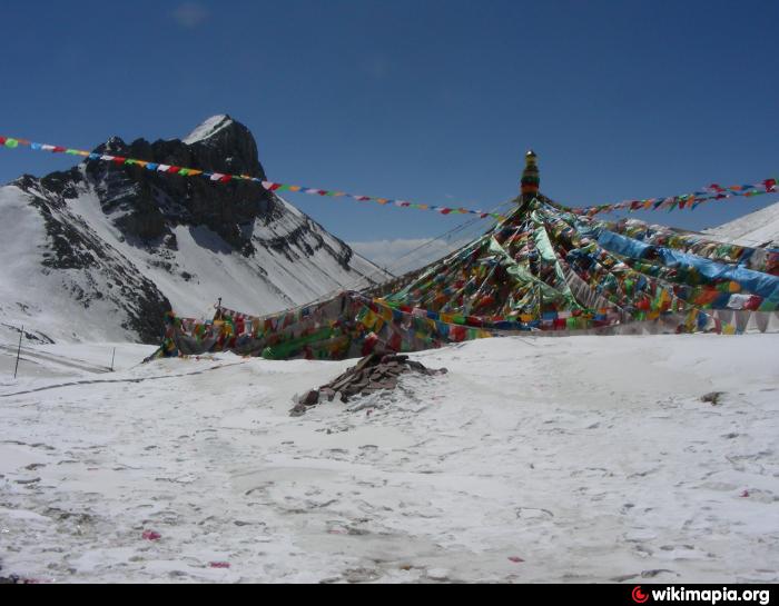
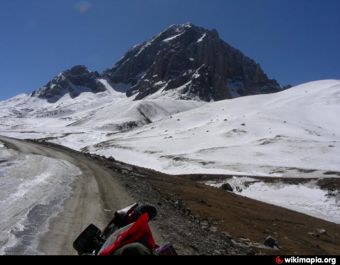
Pass auf dem Weg von Yushu/Baitang nach Xiaosumang, 4880 m. Chin.: Ge La.
Nearby cities:
Koordinaten: 32°34'21"N 97°12'41"E
- Haxiu-Pass 125 km
- Passhöhe auf dem Weg von Adoi nach Zadam 231 km
- Maluchating Shan (4.577 m) 244 km
- Hage Song Shan (4.637 m) 301 km
- Guoge Lalung Shan (4.518 m) 310 km
- Rupsa La 321 km
- Tosongyong Shan (4.453 m) 359 km
- Dang La 5231 m 498 km
- Passhöhe 544 km
- Karo La Pass, (5036m) 788 km
- Baitang (Batang Xiang) 30 km
- Baitang Reiterfestplatz 34 km
- Sanjiangyuan-Flughafen in Yushu (Flughafen von Jiegu) 34 km
- Lebkhog-Tal mit Felsgravuren 39 km
- Thrangu-Kloster (bis 2010) 45 km
- Yushu-Tunnel 47 km
- Udoima 83 km
- Derongma 90 km
- Bumnying Gompa 101 km
- Jü Mohor Kloster 115 km