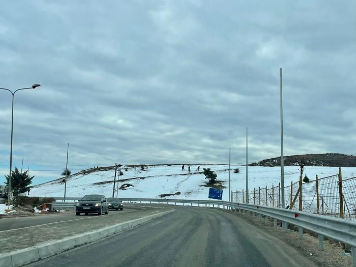
Qafë Thana
| Bergpass
Albania /
Librazhd /
Perrenjas /
World
/ Albania
/ Librazhd
/ Perrenjas
Världen / Albanien / Prefettura de Coriza / Pogradec ilçesi
Bergpass
Kategorie hinzufügen


Wikipedia-Artikel: http://de.wikipedia.org/wiki/Qafë_Thana
Nearby cities:
Koordinaten: 41°3'58"N 20°36'27"E
- Schiestelscharte 2.027 m ü. A. 847 km
- Plöckenpass 1357 m 870 km
- Croce d'Aune 1.015 m ü. NN 900 km
- Passo di San Pellegrino (1918 m ) 923 km
- Passo Campolongo 1.875 m s.l.m. 927 km
- Pordoijoch, 2.239 m s.l.m. 929 km
- Karerpaß 936 km
- Klammljoch (2288 m) 945 km
- Pass Thurn (1274 m) 954 km
- Jaufenpass (2094 m) 982 km
- Ohridsee 10 km
- Jablanica (Gebirge) 16 km
- Gemeinde Ohrid 20 km
- Gemeinde Struga 21 km