Dimmuborgir
Iceland /
Nordurland eystra /
Reykjahlid /
World
/ Iceland
/ Nordurland eystra
/ Reykjahlid
World / Iceland / Hálshreppur
natural monument, volcanic plateau
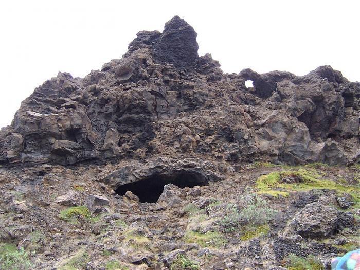
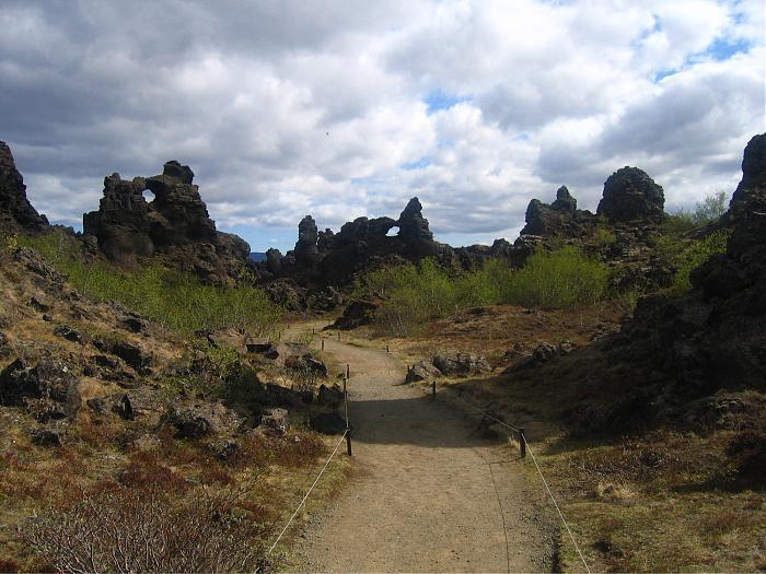
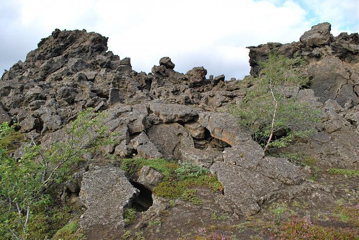
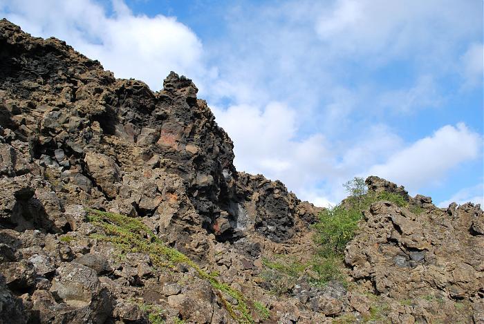

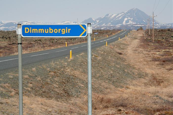
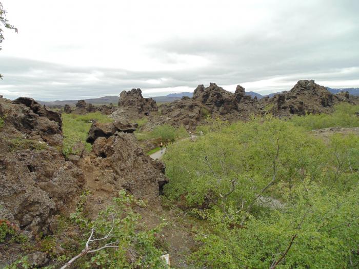
Dimmuborgir is a lava field to the east of lake Mývatn. It is known for its unusual rock formations and numerous caves that make the area somewhat reminiscent of an ancient collapsed citadel. For that reason it has its place in Icelandic folklore as a connection with infernal regions, and is the purported dwelling-place of elves and trolls.
Wikipedia article: http://en.wikipedia.org/wiki/Dimmuborgir
Nearby cities:
Coordinates: 65°35'22"N 16°53'53"W
- Katahdin Woods and Waters National Monument 3739 km
- Cape Krusenstern National Monument 4964 km
- Mount St. Helens National Volcanic Monument 6041 km
- Canyon de Chelly National Monument 6504 km
- El Malpais National Monument 6567 km
- Grand Canyon Parashant National Monument 6657 km
- Organ Mountains-Desert Peaks National Monument 6809 km
- Ironwood Forest National Monument 6957 km
- Carrizo Plain National Monument 7045 km
- Organ Pipe Cactus National Monument 7058 km
- Dimmuborgir Nature Reserve 0.4 km
- Hverfjall Nature Reserve 2.2 km
- Mývatn 5.1 km
- Ytriflói 5.2 km
- Mývatn and Laxá Nature Reserve 6.5 km
- Seljahjallagil Nature Reserve 10 km
- Sandvatn 10 km
- Másvatn 17 km
- Sellandafjall 21 km
- Káltborgarárvatn 22 km