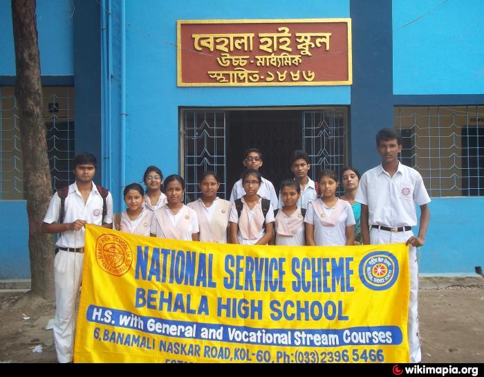
BEHALA HIGH SCHOOL (Kolkata)
India /
Bangla /
Chakdaha /
Kolkata
World
/ India
/ Bangla
/ Chakdaha
World / India / West Bengal / Kolkata
school
Add category
Nearby cities:
Coordinates: 22°30'17"N 88°19'4"E
- M.P. Birla Foundation H.S. School 1.3 km
- Shaw Public School 1.4 km
- Calcutta Blind School 1.5 km
- GOURNAGAR HIGH SCHOOL 4.6 km
- Jote Shibrampur High School 4.7 km
- Bratachari School 5.6 km
- The Mathieson Music Trust Land 6.8 km
- The Mathieson Music Trust Land 6.8 km
- Pailan World School 7.4 km
- Reliable Computer Academy 9 km
- Bimalendu Pal 0.1 km
- DR.SATINATH MUKHERJEE 0.1 km
- Saptasikha PlayGround & Club 0.3 km
- Sabuj Dal Ashar Children Organisation Regd.No.s/14336 ( 1938 ) 0.4 km
- Hari Shabha Ground 0.4 km
- Banerjee Para 0.5 km
- BANDHUDAL CLUB GROUND 0.5 km
- Pathak Para Road 0.6 km
- Behala 1.5 km
- Kolkata Metropolitan Area 19 km