Island of Šarengrad
Croatia /
Vukovar-Srijem /
Sarengrad /
World
/ Croatia
/ Vukovar-Srijem
/ Sarengrad
World / Serbia / Južno-Bački
island, territorial dispute
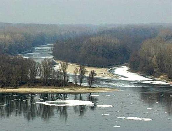
Island of Šarengrad (Serbian: Шаренградска ада / Šarengradska ada) is a Danube river island situated next to the Karađorđevo, Serbia, and close to the village of Šarengrad in Croatia.The island was formed in 1909 with the construction of the Mohovo-Šarengrad canal.
Wikipedia article: http://en.wikipedia.org/wiki/Island_of_Šarengrad
Nearby cities:
Coordinates: 45°15'31"N 19°13'56"E
- Opatovačka ada 6.9 km
- Haglovi 15 km
- Sotinska / Vučedolska ada (river isle) 16 km
- Dunavac Island 53 km
- Slankamenska ada 80 km
- Stajićevski Island 89 km
- Csepel Island 247 km
- Szentendre Island 285 km
- Szigetköz 351 km
- Sihoť 364 km
- Municipality of Ilok 6.6 km
- Municipality of Tompojevci 12 km
- Municipality of Stari Jankovci 23 km
- Municipality of Vukovar 24 km
- Municipality of Bogdanovci 24 km
- Municipality of Šid 25 km
- Municipality of Nijemci 27 km
- Municipality of Otok 30 km
- Fruška Gora National Park 30 km
- Municipality of Sremska Mitrovica 34 km