Schoonbroek
Belgium /
Antwerpen /
Retie /
World
/ Belgium
/ Antwerpen
/ Retie
World / Belgium / Vlaanderen / Antwerpen / Turnhout
village, draw only border
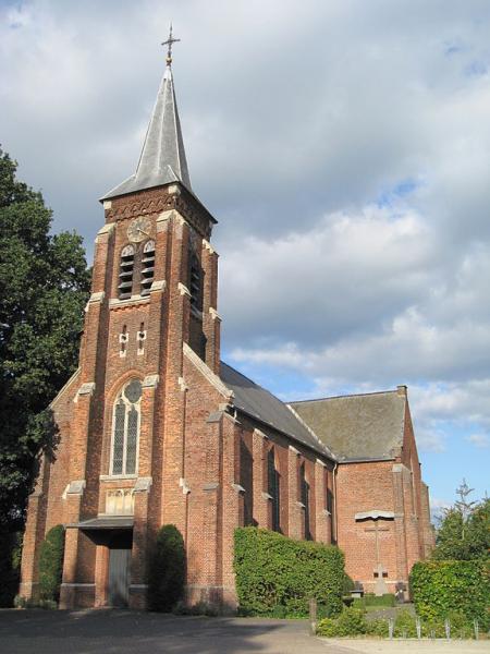
Schoonbroek is a church village of Retie with about 1600 inhabitants. It was part of Oud-Turnhout until it was added to Retie during the major municipal reorganization of 1977.
About 1000 years ago, came to that place a small Frankish peasant settlement, from the time of the three-course rotation (crop rotation). The village was formed as many villages around a Frankish Triangle, the current triangular square dates from the 20th century. According to old documents from before 1000 the name of this hamlet at that time was "Sconebuc" whatsome pretty nice beech or beech grove means.
About 1000 years ago, came to that place a small Frankish peasant settlement, from the time of the three-course rotation (crop rotation). The village was formed as many villages around a Frankish Triangle, the current triangular square dates from the 20th century. According to old documents from before 1000 the name of this hamlet at that time was "Sconebuc" whatsome pretty nice beech or beech grove means.
Nearby cities:
Coordinates: 51°17'16"N 5°2'59"E
- Mol 4 km
- Bergeijk 16 km
- Pelt 19 km
- Eersel (municipality) 24 km
- Ravels (municipality) 24 km
- Hilvarenbeek (municipality) 29 km
- Oirschot (Municipality) 31 km
- Cranendonck 33 km
- Heeze-Leende 33 km
- Tilburg 40 km
- Hoge Darisdonk 4.1 km
- Werbeek 4.9 km
- Grootrees 5.4 km
- Brasel 5.7 km
- Dekshoevevijver 9 km
- Quarters Kapitein Pierre Gailly 9 km
- Goor 10 km
- Reivennen 11 km
- Mosselgoren 14 km
- North Brabant 27 km