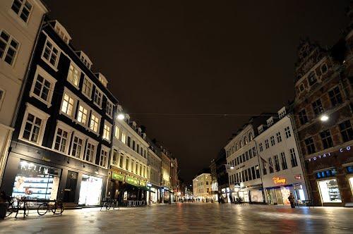
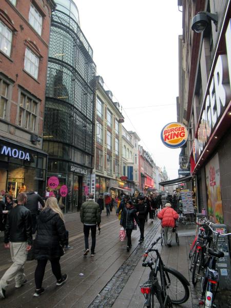
Strøget (Kopenhaga)
Denmark /
Kobenhavn /
Copenhagen /
Kopenhaga
World
/ Denmark
/ Kobenhavn
/ Copenhagen
World / Szwecja /
ulica, deptak, interesujące miejsce, niewidoczne


Artykuł Wikipedii: http://pl.wikipedia.org/wiki/Strøget
Miasta w pobliżu:
Współrzędne: 55°40'42"N 12°34'37"E
- Promenada 223 km
- Bulwar Piastowski 281 km
- Opaska zabezpieczająca 377 km
- Deptak (ściezka piesza i rowerowa) 395 km
- Bulwar w Oksywiu 400 km
- Deptak 405 km
- Promenada 414 km
- Südpark 515 km
- Główny pasaż cmentrarny 660 km
- Ulica Główna 973 km
- Ogrody Tivoli 0.8 km