Witgoor
Belgium /
Antwerpen /
Dessel /
World
/ Belgium
/ Antwerpen
/ Dessel
World / Belgium / Vlaanderen / Antwerpen / Turnhout
hamlet, draw only border
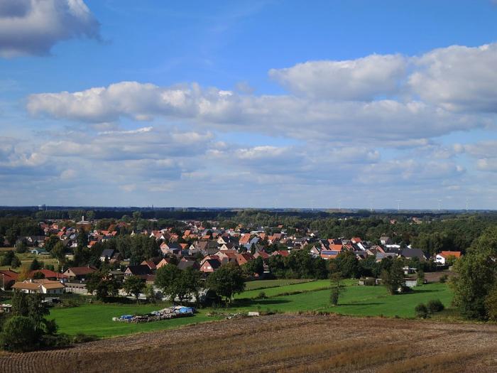
Witgoor is a hamlet in the Belgian municipality of Dessel in the province of Antwerp. It is located about two kilometers east of the center of Dessel.
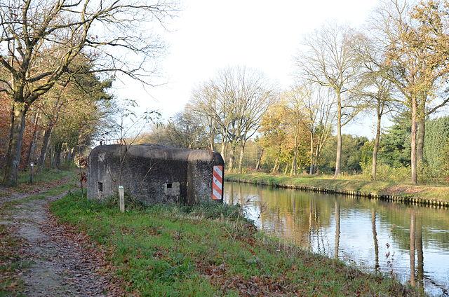
The Bocholt-Herentals Canal runs to the south, the Dessel-Turnhout-Schoten Canal to the east.
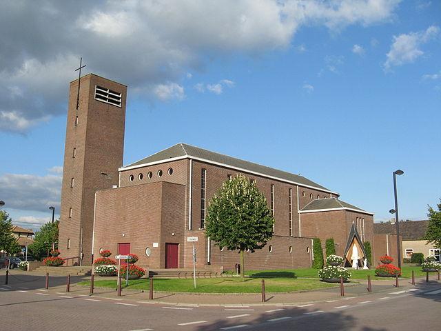
Witgoor is one of the old centers of Dessel. In addition to this name, names such as op 't eynde and Hertveken also appeared in the 17th and 18th centuries. On the Ferraris map from the 1770s, the place is indicated as the hamlet of Witgoeir, which was already connected to the center of Dessel via ribbon development. Witgoor grew out around the 17th-century chapel of Our Lady of Continuous Assistance.
The Bocholt-Herentals Canal runs to the south, the Dessel-Turnhout-Schoten Canal to the east.
Witgoor is one of the old centers of Dessel. In addition to this name, names such as op 't eynde and Hertveken also appeared in the 17th and 18th centuries. On the Ferraris map from the 1770s, the place is indicated as the hamlet of Witgoeir, which was already connected to the center of Dessel via ribbon development. Witgoor grew out around the 17th-century chapel of Our Lady of Continuous Assistance.
Nearby cities:
Coordinates: 51°14'32"N 5°8'35"E
- Mol 12 km
- Pelt 13 km
- Bergeijk 17 km
- Eersel (municipality) 26 km
- Cranendonck 29 km
- Heeze-Leende 30 km
- Ravels (municipality) 31 km
- Hilvarenbeek (municipality) 34 km
- Oirschot (Municipality) 35 km
- Tilburg 46 km
- Sibelco 1.7 km
- Zilvermeer 2.6 km
- Miramar 2.7 km
- Werbeek 3.4 km
- Hodonk 3.6 km
- Nyrstar’s zinc smelting plant 8.5 km
- Balen-Keiheuvel Aerodrome 8.9 km
- Lommel Wind farm 9 km
- Solar Field 10 km
- North Brabant 31 km