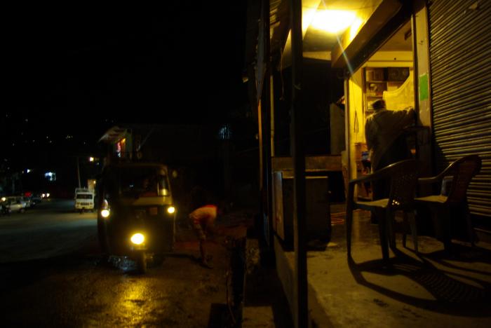
Naggar
India /
Himachal Pradesh /
Manali /
World
/ India
/ Himachal Pradesh
/ Manali
World / India / Himachal Pradesh / Kullu
town
Add category
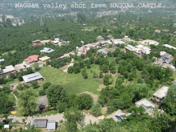
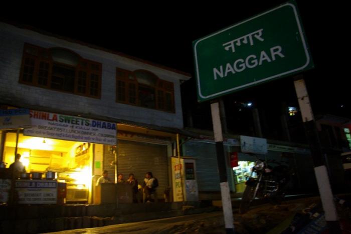
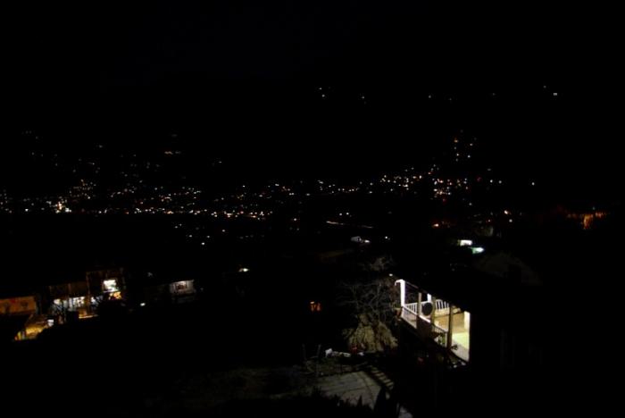
Naggar
Nearby cities:
Coordinates: 32°6'48"N 77°9'52"E
- Manali 17 km
- Dharamshala 83 km
- Kishtwar 194 km
- Samba 202 km
- Udhampur 216 km
- Kargil 293 km
- Sopore 355 km
- Samote Union Council 376 km
- Nathia Gali 416 km
- PEERAN KHAIRABAD 445 km
- Nicholas Roerich's Museum 0.4 km
- Patlikhul Market 1.7 km
- Patlikuhl 1.7 km
- Trout fish farm 1.9 km
- Span Resort 2.1 km
- ALU GROUND 15 MILE 3 km
- Destination for the natural beauti of Dev ghad..... 5.1 km
- Neri 8.9 km
- Sour Tal 13 km
- Source of Kaimen Nala 19 km
Comments