Relict autobahn bridge
Germany /
Bayern /
Burgsinn /
World
/ Germany
/ Bayern
/ Burgsinn
World / Germany / Bayern / Unterfranken
underpass, historic ruins
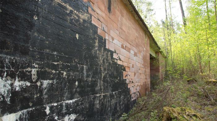
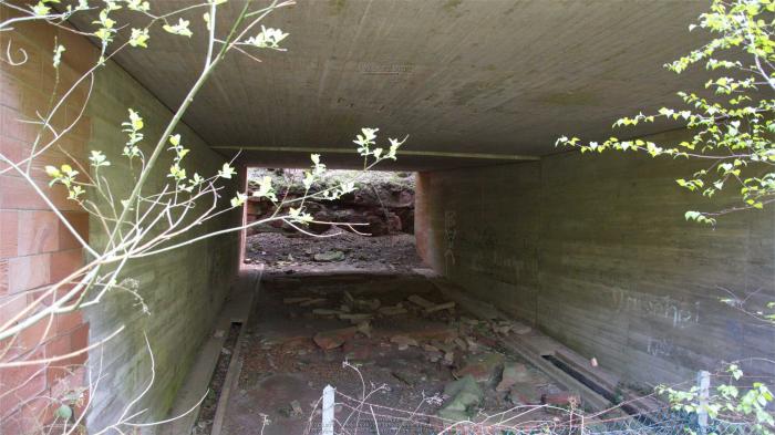
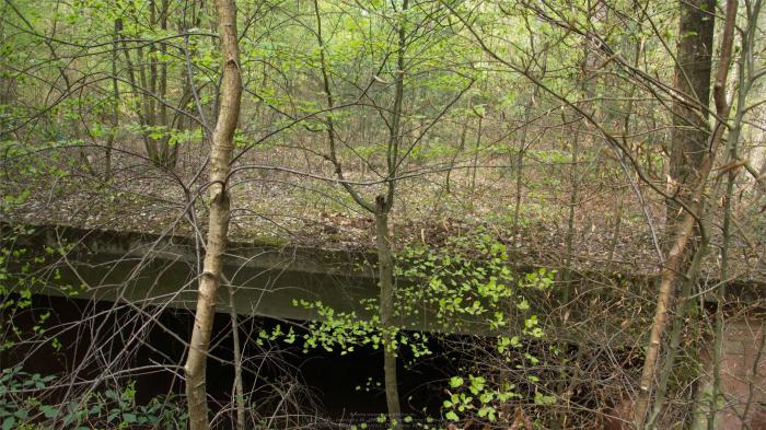
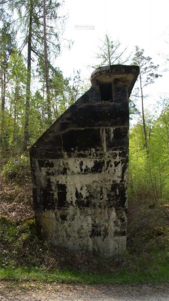
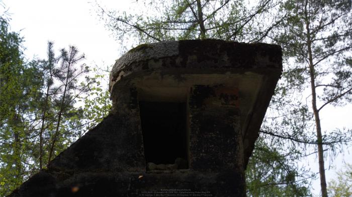
Part of the unfinished north-south autobahn from Fulda to Würzburg known as "Strecke 46" planned by the German Reich. Construction stopped when World War II broke out leaving this relict bridge with no purpose crossing the road between Burgsinn and Gräfendorf. The route of the planned autobahn is clearly visible in Google earth since the forest was cleared in preparation for roadworks and later reforested.
Nearby cities:
Coordinates: 50°9'6"N 9°41'8"E
- Former Oflag VI-B Dössel 157 km
- Ommerschans 355 km
- Ter Duinen abbey (ruins) 509 km
- Dungeness Minefield 623 km
- South Boom Battery 649 km
- Remains Of Chattenden Barracks 660 km
- Curtis’s and Harvey Ltd Explosives Factory 665 km
- Saint Mary's Abbey, West Dereham 696 km
- Remnant of Runway 09-27 744 km
- Remnant of Runway 15-33 744 km
- Burgsinn Station 3.6 km
- Sinnberg Tunnel 5.9 km
- Unfinished Motorway 46 7 km
- Einmalberg Tunnel 9 km
- Gemunden Viaduct 10 km
- Altengronauer Forst Tunnel 11 km
- Zeitlofs Viaduct 12 km
- Mottgers Station 14 km
- Schwarzenfels Tunnel 16 km
- Hammelburg military trainings area 16 km