Rigolets (New Orleans, Louisiana)
| water
USA /
Mississippi /
Pearlington /
New Orleans, Louisiana
World
/ USA
/ Mississippi
/ Pearlington
World / United States / Louisiana
water
Add category
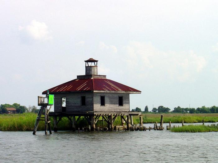
This waterway is one of two that connect Lake Pontchartrain (to the west) with Lake Borgne and the Gulf of Mexico to the east. It is via these waterways that the Katrina storm surge entered Lake Pontchartrain and ultimately flooded New Orleans.
Wikipedia article: http://en.wikipedia.org/wiki/Rigolets
Nearby cities:
Coordinates: 30°9'56"N 89°41'17"W
- Breton Sound 8.5 km
- Lake Borgne 17 km
- Mississippi River Gulf Outlet (Mr. Go) (Closed) 29 km
- Chandeleur Islands 45 km
- Southwest Pass 116 km
- Mobile Bay 159 km
- Whiting Dome 174 km
- Santa Rosa Sound 229 km
- Choctawhatchee Bay 300 km
- Lake Seminole 458 km
- Hog Island 5.6 km
- Honey Island 6.9 km
- Lake Catherine Neighborhood 7.5 km
- Lakeshore Harbor Inlets 10 km
- Eden Isle 14 km
- Pearl River Wildlife Management Area 15 km
- Northshore Beach Community 16 km
- Lake village Neighborhood 16 km
- Bayou Sauvage NWR 19 km
- Big Branch Marsh National Wildlife Refuge 25 km