Great Coco Island (Myanmar)
Myanmar /
Ayeyarwady /
Labutta /
World
/ Myanmar
/ Ayeyarwady
/ Labutta
World
island
Add category
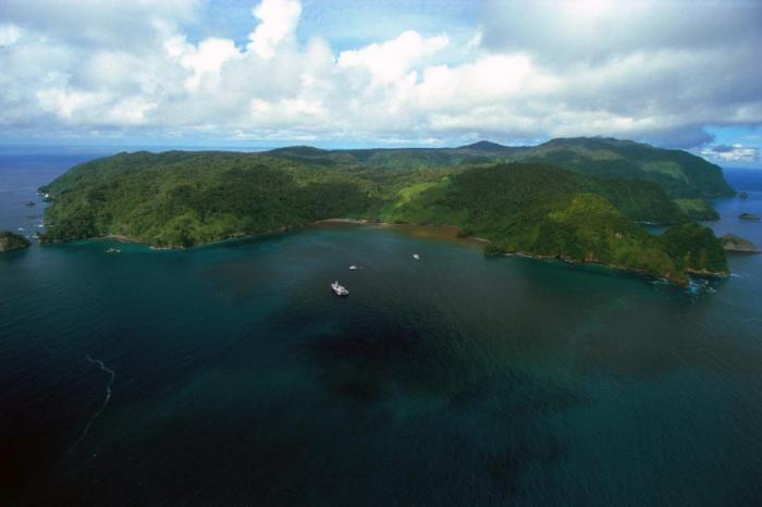
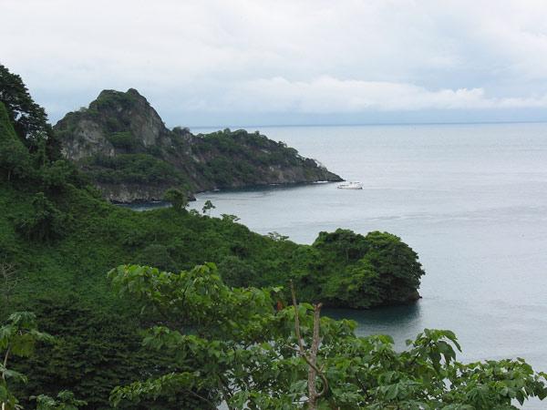
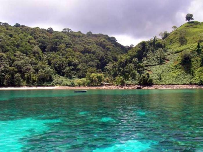
The island is also known as Greater Coco Island (Myanmar). According to the 1992 agreement signed by China and Myanmar, China leased it as potential military installations. The outline follows the beach line at unknown tide level and does not include three nearby islets (northeast, east and south), each about 30 m wide. [Polygon adjusted at zoom level 16; matches the beach outline as seen in GoogleMaps imagery]
Wikipedia article: http://en.wikipedia.org/wiki/Great_Coco_Island
Nearby cities:
Coordinates: 14°6'25"N 93°21'54"E
- North Andaman 85 km
- Interview Island 147 km
- Middle Andaman 150 km
- Henry Lawrence Island 214 km
- John Lawrence Island 220 km
- South Andaman Island 227 km
- Havelock Island 234 km
- Ka Doan Ka Ni Island 271 km
- Mein Ma Hla Kyun Wildlife Sanctuary 298 km
- Rutland Island 301 km
- Great Coco Island 7.7 km
- Puriyan Cape 225 km
- Pyinkhayaing 231 km
- Tail of Burma 232 km
- PhoneTaw Pye Town 238 km
- Tekkethaung River 258 km
- Thongwa 263 km
- Pyinsalu River 284 km
- Bassein (Pathein) River 295 km
- Myaungmya 321 km
Comments