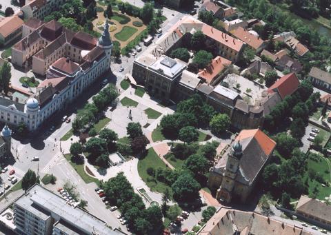
Szentes
Hungary /
Csongrad /
Szentes /
World
/ Hungary
/ Csongrad
/ Szentes
Monde / Hongrie /
ville
Ajoutez un catégorie

Article dans Wikipedia: http://fr.wikipedia.org/wiki/Szentes
Villes proches:
Coordonnées : 46°39'10"N 20°15'57"E
- Tiszaföldvár 39 km
- Szeged 42 km
- Makó, 47 km
- Arad 87 km
- Kikinda 90 km
- Timișoara 112 km
- Zrenjanin 139 km
- Novi Sad 155 km
- Vršac 184 km
- Caransebeș 200 km
- District de Tiszakécske 32 km
- District de Kiskunfélegyháza 34 km