Pod Balduin (Koblenz)
Germany /
Rheinland-Pfalz /
Koblenz
World
/ Germany
/ Rheinland-Pfalz
/ Koblenz
Maailm / Germania / / Koblenz
pod rutier, clădire istorică, 14th century construction (en)

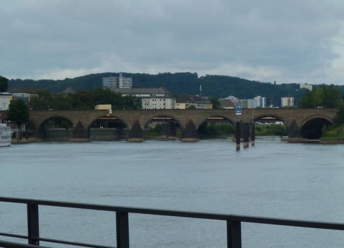
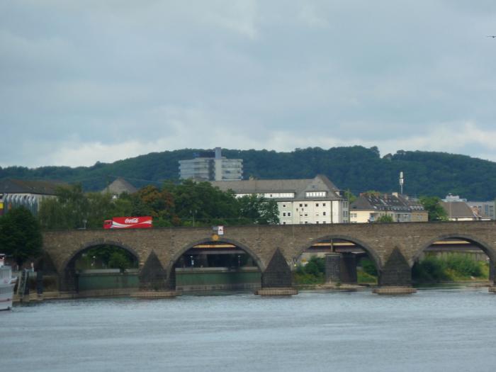
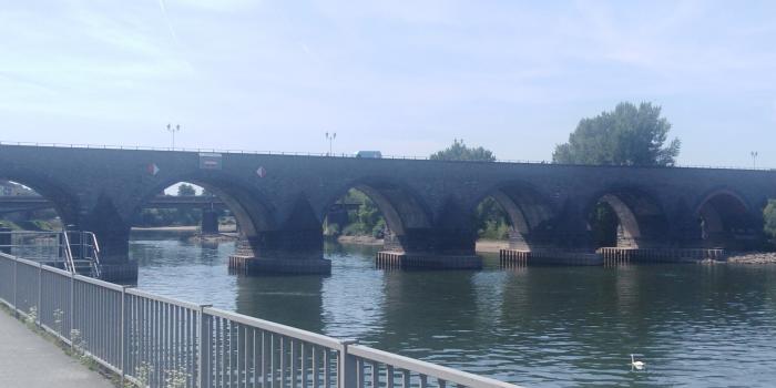
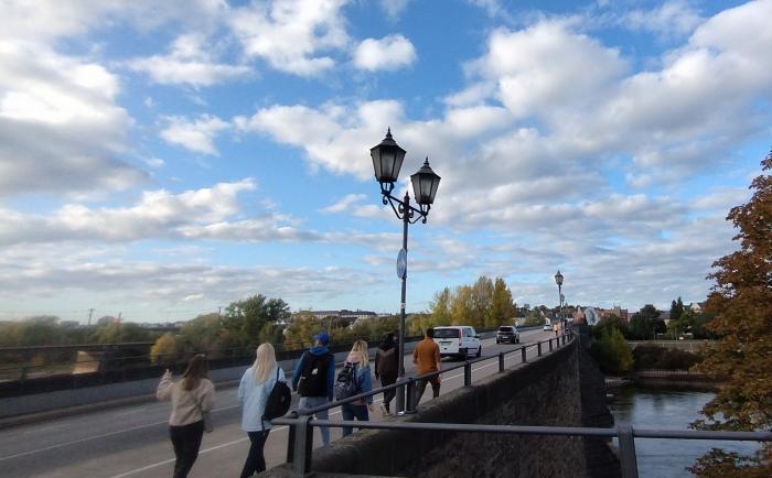
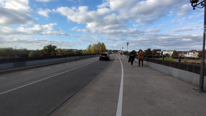
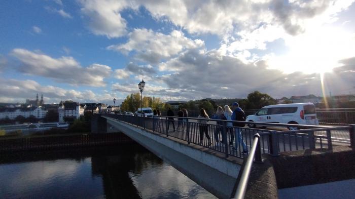
Peste Mosel, construit in 1337
Oraşe în apropiere:
Coordonate: 50°21'49"N 7°35'34"E
- Podul Europa 0.5 km
- Podul Pfaffendorfer 1.2 km
- Viaduct 9 km
- Viaduct Wiedtal 31 km
- Pod Bullay 48 km
- Viaduct Theisstal (A3) 56 km
- Pod 0.2 km
- Podul Pfaffendorfer 1.4 km