Flores
Indonesia /
Nusa Tenggara Timur /
Ende /
World
/ Indonesia
/ Nusa Tenggara Timur
/ Ende
World / Indonesia / Nusa Tenggara Timur
island
Add category

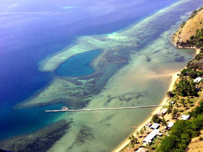
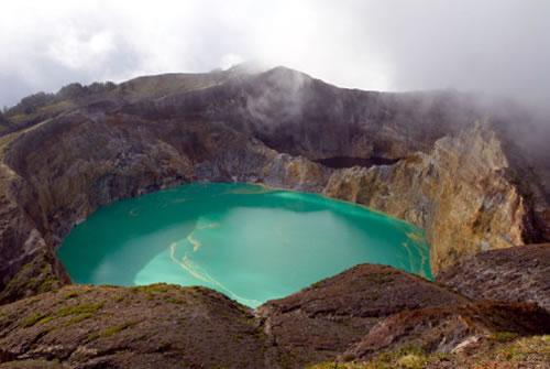
Flores is one of the Lesser Sunda Islands, an island arc with an estimated area of 14,300 km² extending east from the Java island of Indonesia. The population is estimated to be around 1.5 million, and the largest town is Maumere.
Flores is located east of Sumbawa and Komodo and west of Lembata and the Alor Archipelago. To the southeast is Timor. To the south, across the Sumba strait, is Sumba and to the north, beyond the Flores Sea, is Sulawesi.
On December 12, 1992, an earthquake measuring 7.8 on the Richter scale occurred, killing 2,500 people near the island of Flores.
Wikipedia article: http://en.wikipedia.org/wiki/Flores
Nearby cities:
Coordinates: 8°30'37"S 121°25'0"E
- Pulau Solor 160 km
- Adonara Island 177 km
- Pulau Lembata 201 km
- Sawu Island 214 km
- Komodo Island 225 km
- Rote Island 262 km
- Pulau Semau 273 km
- Sumba Island 288 km
- Selayar Island 324 km
- Sapuka Islands 418 km
- Marapokot 11 km
- Sindeh Bay 15 km
- Mt. Keli Sika 17 km
- Kurukeli Bay 18 km
- Sopu Bay 20 km
- Mt. Amegelu (1320 m) 21 km
- Mt. keli Watumanu II 24 km
- Mageboka Bay 26 km
- Mt. Ndora (1220 m) 29 km
- Mt. Mbotutenda 32 km