Border of Russian Empire 1795-1914
Ukraine /
Rivnenska /
Radyvyliv /
World
/ Ukraine
/ Rivnenska
/ Radyvyliv
, 4 km from center (Радивилів)
World / Ukraine / Rivne
historical layer / disappeared object
Add category
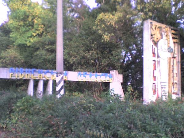
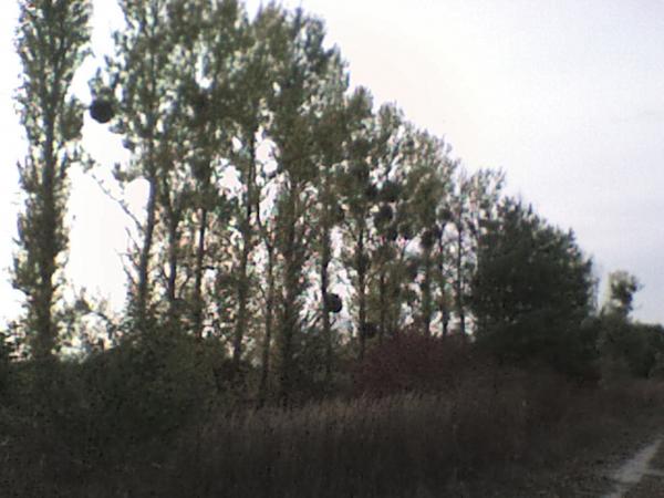


Here were border between Russian and Austro-Hungarian Empire from 1795 up to 1914.
Currently just local administrative border between Rovno and Lviv provinces.
Currently just local administrative border between Rovno and Lviv provinces.
Nearby cities:
Coordinates: 50°6'58"N 25°12'44"E
- Hutsisko Brodzkie 19 km
- Voljanuk homestead 20 km
- Huta Penyatska 25 km
- Forest 3.2 km
- Brody Raion 8.5 km
- Radyvyliv Raion 12 km