Conception Bay
Namibia /
Erongo /
Walvis Bay /
World
/ Namibia
/ Erongo
/ Walvis Bay
World / Namibia / Erongo
bay
Add category
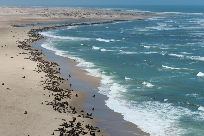
The comment below can be clarified. This landmark seems to be "Conception Water". This according to the GPS Data given by Martin Cleminshaw in www.reports.overland.co.za. The data were given at a time when the GPS Database was not accurate enough. The data reported by Martin, lead to a point, almost one km nw in the Atlantic ocean. (It is not part of the "Lange Wand" which is more in the South.
Wikipedia article: http://en.wikipedia.org/wiki/Conception_Bay_(Namibia)
Nearby cities:
Coordinates: 23°55'27"S 14°30'22"E
- False Bay 1192 km
- Maputo Bay (formerly 'Delagoa Bay') 1834 km
- Kavirondo Gulf 3401 km
- Winam Gulf 3422 km
- Mahajamba Bay 3533 km
- Ambaro Bay 3770 km
- Antongila Bay 3789 km
- Baie Rhodes 5487 km
- Baie du Hillsborough 5521 km
- Golfe du Morbihan 5539 km
- Walvis Bay Salt Works 101 km
- Walvis Peninsula 106 km
- Husab Uranium Project - EPL 3439 138 km
- Etango Uranium Project - EPL 3345 150 km
- Husab Uranium Project - EPL 3138 153 km
- Rössing Uranium Mine 171 km
- Trekkopje Mine 197 km
- Chuos Mountains 203 km
- Khomas Hochland Conservancy 216 km
- Navachab Gold Mine 253 km
Comments