Southernmost dry land of the country of Greenland
Greenland /
Narsaq /
Ipiutaq /
World
/ Greenland
/ Narsaq
/ Ipiutaq
World / Greenland / Kitaa
island
Add category
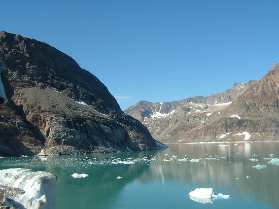
Southernmost land of the country of Greenland (Kalaallit Nunaat). This unnamed island is the most southerly land possessed by Greenland. It is over ten hectares in area, over 0.1 square km.
Nearby cities:
Coordinates: 59°44'48"N 43°53'44"W
- Egger Island 29 km
- Ikeq Island 41 km
- Nunarsuaq Island 48 km
- Angnikitsog Island 51 km
- Vaðstakksey 1231 km
- Skeley 1235 km
- Feitsey 1236 km
- Flatey 1236 km
- Vigur 1269 km
- Æðey 1278 km
- Uummannarsuaq (Greenlandic) - Cape Farewell 5.2 km
- East Nunarsuaq Islands 47 km
- Ikerasassuaq 53 km
- Amitsuarsuk fjord 61 km
- Lake Tasersuak 70 km
- Qinngua Valley 70 km
- Nalunaq Gold Mine 85 km
- M/S Hans Hedtoft perished 91 km
- Tasermuit fjord 116 km
- Tasermiut glacier 124 km
Comments