Obolonskyi Raion (Kyiv)
Ukraine /
Kyyivska /
Kotsyubynske /
Kyiv
World
/ Ukraine
/ Kyyivska
/ Kotsyubynske
, 7 km from center (Коцюбинське)
World / Ukraine / Kiev City
draw only border, town district


An administrative-territorial unit of the city of Kyiv (in English - 'Obolon District').
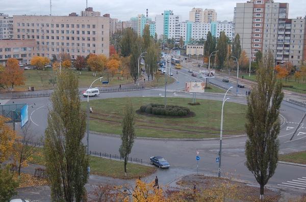
Obolon District was formed in 1975, because of intensive residential construction of northern areas in Kyiv.
Until the administrative reform in 2001 it was called the Minskyi Raion ('Minsk District').
Reform some changed borders of district, and it was renamed after the biggest its neighbourhood - Obolon.
At this time it's middle part was called Obolonski Lypky ('Obolonian Lindens'). This name originate from Lypky - the old district in the center of Kyiv, where rich people lived).
Also Obolon is known from the middle and even ancient ages.
At the Middle ages there was Kyiv's lands, where peoples which tended a heards lived.
During the reconstruction of the new district many archaeological finds of Trypilska and other cultures were found here.
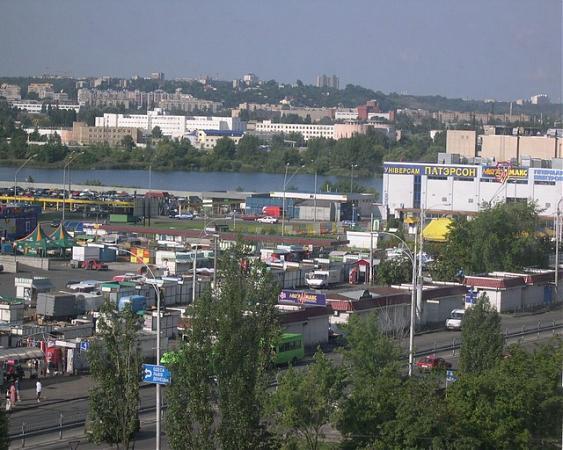
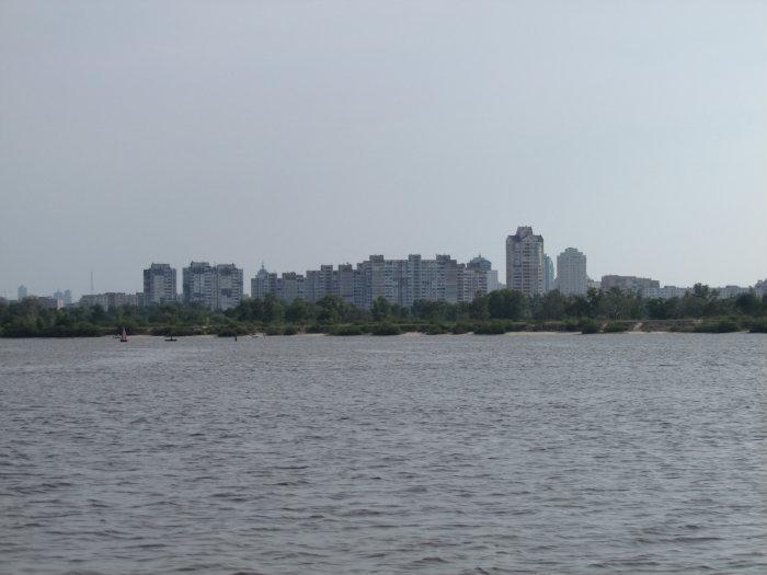
There is powerful industrial area in this district, including famous beer factory "Obolon", other enterprises of food industry, transport, building enterprises, etc.
Official number of population of this district is 315 500 inhabitants [2012].
From north to south runs Obolonsko–Teremkivska line of the Kyiv's metro (underground).
Photo's & article about Obolon on "TravelClub" community:
community.hiblogger.net/travel/26221.html
Obolon District was formed in 1975, because of intensive residential construction of northern areas in Kyiv.
Until the administrative reform in 2001 it was called the Minskyi Raion ('Minsk District').
Reform some changed borders of district, and it was renamed after the biggest its neighbourhood - Obolon.
At this time it's middle part was called Obolonski Lypky ('Obolonian Lindens'). This name originate from Lypky - the old district in the center of Kyiv, where rich people lived).
Also Obolon is known from the middle and even ancient ages.
At the Middle ages there was Kyiv's lands, where peoples which tended a heards lived.
During the reconstruction of the new district many archaeological finds of Trypilska and other cultures were found here.
There is powerful industrial area in this district, including famous beer factory "Obolon", other enterprises of food industry, transport, building enterprises, etc.
Official number of population of this district is 315 500 inhabitants [2012].
From north to south runs Obolonsko–Teremkivska line of the Kyiv's metro (underground).
Photo's & article about Obolon on "TravelClub" community:
community.hiblogger.net/travel/26221.html
Wikipedia article: http://en.wikipedia.org/wiki/Obolonskyi_Raion
Nearby cities:
Coordinates: 50°31'54"N 30°25'12"E
- Podilskyi raion 4.2 km
- Solomianskyi raion 8.2 km
- Dniprovskyi raion 8.7 km
- Holosiivskyi raion 10 km
- Desnianskyi raion 10 km
- Sviatoshynskyi raion 13 km
- Darnytskyi raion 14 km
- Pivdenno-Zakhidnyi 282 km
- Lychakivskyi district 461 km
- Shevchenkivskyi district 469 km
- Glade 0.2 km
- Enduro track 1 km
- Piece of dismantled railway mound 2.8 km
- Sviatoshynskyi raion 9 km
- Pushcha Vodytsia Forest 9 km
- Vyshhorod Raion 29 km