Chupa
Russia /
Karelija /
Chupa /
World
/ Russia
/ Karelija
/ Chupa
, 1 km from center (Чупа)
World / Russia / Murmansk
town
Add category

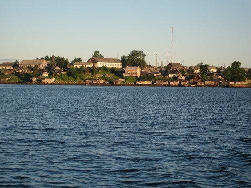


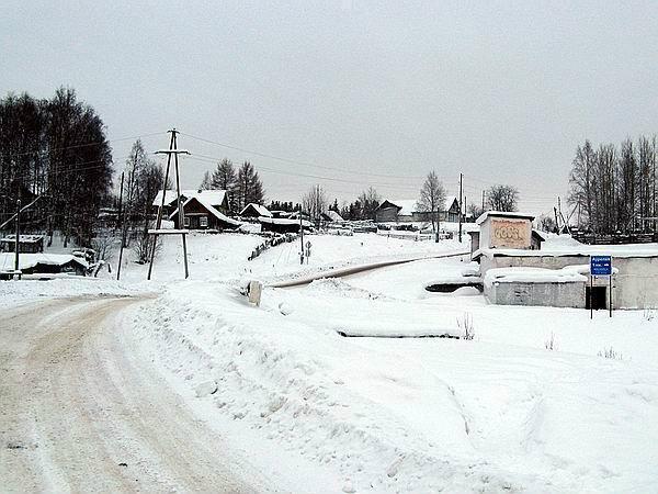
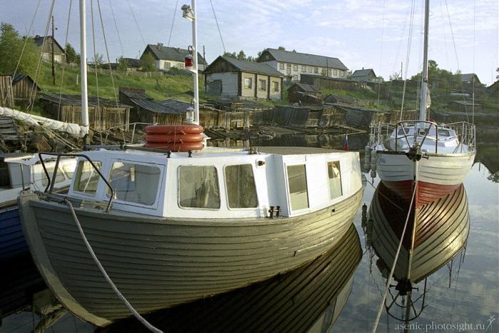
Urban locality (an urban-type settlement) in Loukhsky District of the Republic of Karelia, Russia, located on the coast of the White Sea, 629 kilometers (391 mi) north of Petrozavodsk, the capital of the republic. As of the 2010 Census, its population was 2,924.
It has been known since 1574. Urban-type settlement status was granted to it in 1943.
It has been known since 1574. Urban-type settlement status was granted to it in 1943.
Wikipedia article: http://en.wikipedia.org/wiki/Chupa,_Republic_of_Karelia
Nearby cities:
Coordinates: 66°16'13"N 33°2'56"E
- Kalevala 147 km
- Kuusamo centre 180 km
- Iisalmi centre 406 km
- Nivala centre 460 km
- Pieksämäki centre 526 km
- Kokkola (Town) 540 km
- Saarijarvi (Town) 545 km
- Mikkeli 584 km
- Lapua centre 603 km
- Seinäjoki (Town) 624 km
- Pionerskaya ulitsa, 56 0.1 km
- Lake Verkhneye Pulongskoye 10 km
- 183 17 km