Khanty-Mansiysk
Russia /
Hanty-Mansija /
Khanty-Mansiysk, Ostyako-Vogulsk /
World
/ Russia
/ Hanty-Mansija
/ Khanty-Mansiysk, Ostyako-Vogulsk
, 4 km from center (Ханты-Мансийск)
World / Russia / Khanty-Mansiy
city, capital city of state/province/region, district center, City of Labour Valour
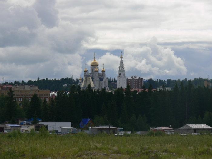
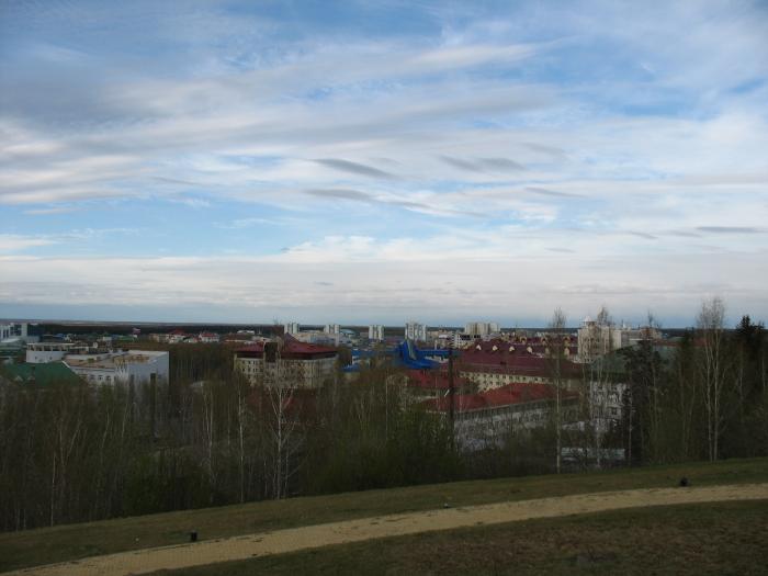
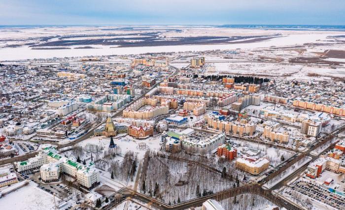
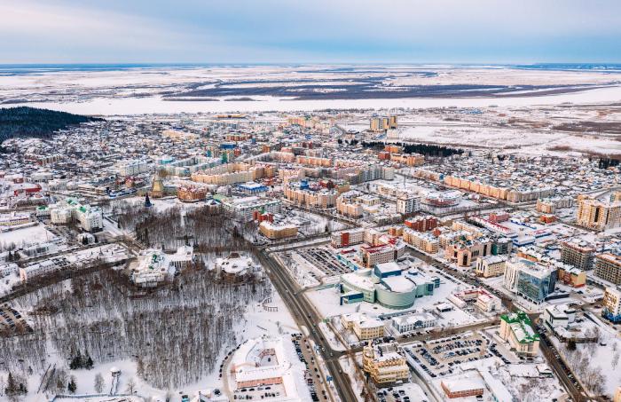
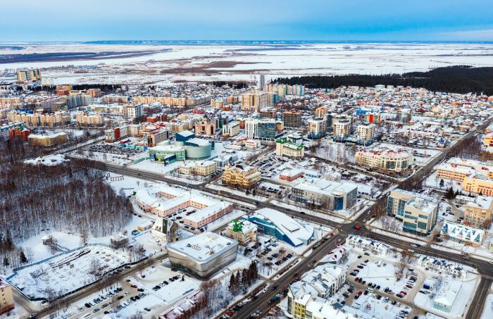
Khanty-Mansiysk (Russian: Ха́нты-Манси́йск, tr. Hánty-Mansíysk, lit. Khanty-Mansi Town; Khanty: Ёмвоҷ, Jomvoćś; Mansi: Абга, Abga) is a city and the administrative centre of Khanty-Mansi Autonomous Okrug–Yugra, Russia. It stands on the eastern bank of the Irtysh River, 15 kilometers (9.3 mi) from its confluence with the Ob, in the oil-rich region of Western Siberia. Though an independent city, Khanty-Mansiysk also functions as the administrative centre of Khanty-Mansiysky District. Khanty-Mansiysk is one of few capitals of Russian regions that is not the largest city in the area, surpassed by Surgut, Nizhnevartovsk and Nefteyugansk. The city's name consists of the names of the local Indigenous people Khanty and Mansi and includes "-sk" ending which is a typical Russian ending for town names. Before 1940, these people were known as Ostyaks and Voguls respectively. The city's name (then settlement) was Ostyako-Vogulsk.
Wikipedia article: http://en.wikipedia.org/wiki/Khanty-Mansiysk
Nearby cities:
Coordinates: 60°59'33"N 69°1'59"E
- Pyt-Yakh 200 km
- Surgut 228 km
- Tobolsk 302 km
- Nizhnevartovsk 394 km
- Noyabrsk 411 km
- Tara 538 km
- Novy Urengoy 682 km
- Seversk 1019 km
- Tomsk 1024 km
- Asino 1063 km
- Samarovskiy Chugas Nature Park 0.6 km
- The Nordic Ski Centre in Khanty-Mansiysk on behalf of A. Filipenko 1 km
- Yugra-Athletics Stadium 1.5 km
- Mountain ski line 1.7 km
- Southern Cemetery 1.7 km
- Yuzhny neighbourhood 2.1 km
- Obyezdnaya ulitsa, 6 2.2 km
- Obyezdnaya ulitsa, 8 2.2 km
- Obyezdnaya ulitsa, 10 2.2 km
- Samarovo 2.6 km