Rarotonga
Cook Islands /
Rarotonga /
Avarua /
World
/ Cook Islands
/ Rarotonga
/ Avarua
World
island
Add category
One of the 15 Islands that comprises the Cook Islands, belongs to the southern group.
Rarotonga is the largest of the cook islands.
Rarotonga means 'in the direction of the prevailing wind, south'.
The chief town, Avarua, on the north coast, is also the capital of the Cook Islands.
Rarotonga - The Capitol Island of the Cook Islands, is a long extinct volcanic island. It was last active about 2.3 million years ago. Rarotonga is never likely to be a volcano again. The Black Rock deposit was the last very late stage product of the volcanism on Rarotonga.
Based on evidence collected, archaeologists estimate that there was human life on Rarotonga Island around 5000 years ago.
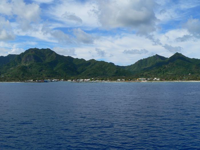
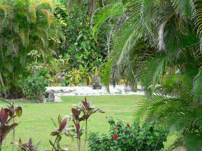
The interior is mountainous and laden with lush tropical rain forests, thus nearly all the population on Rarotonga is concentrated in coastal areas along the 32 kilometre [20 mile] road [Ara Tapu] follows the coast and circles the island. An older inner road dates back about a thousand years with ancient coral blocks as its foundations. Ara Metua, which runs parallel to the Ara Tapu but further inland is also known as Ara Nui O Toi, the "great road of Toi" the innner road encircling Rarotonga. Toi, is the warrior who constructed parts of this road in 1000AD.
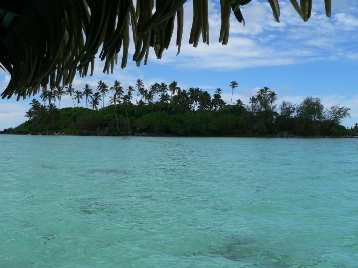
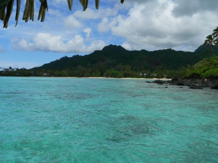
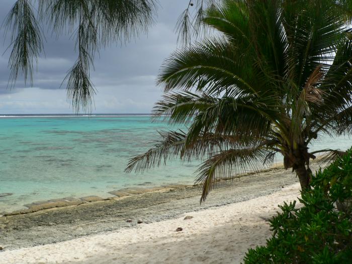
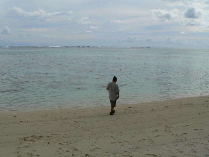
Rarotonga is surrounded by a reef with carefree swimming locations. The highest mountain on the Island of Rarotonga is Te Manga 652 m [2140 feet]
Tumutevarovaro is the traditional name for Rarotonga and it's still used amongst old timers and in plays, legends and contemporary songs.
kiaorana.com/rarotonga.html
en.wikipedia.org/wiki/Cook_Islands
Rarotonga is the largest of the cook islands.
Rarotonga means 'in the direction of the prevailing wind, south'.
The chief town, Avarua, on the north coast, is also the capital of the Cook Islands.
Rarotonga - The Capitol Island of the Cook Islands, is a long extinct volcanic island. It was last active about 2.3 million years ago. Rarotonga is never likely to be a volcano again. The Black Rock deposit was the last very late stage product of the volcanism on Rarotonga.
Based on evidence collected, archaeologists estimate that there was human life on Rarotonga Island around 5000 years ago.
The interior is mountainous and laden with lush tropical rain forests, thus nearly all the population on Rarotonga is concentrated in coastal areas along the 32 kilometre [20 mile] road [Ara Tapu] follows the coast and circles the island. An older inner road dates back about a thousand years with ancient coral blocks as its foundations. Ara Metua, which runs parallel to the Ara Tapu but further inland is also known as Ara Nui O Toi, the "great road of Toi" the innner road encircling Rarotonga. Toi, is the warrior who constructed parts of this road in 1000AD.
Rarotonga is surrounded by a reef with carefree swimming locations. The highest mountain on the Island of Rarotonga is Te Manga 652 m [2140 feet]
Tumutevarovaro is the traditional name for Rarotonga and it's still used amongst old timers and in plays, legends and contemporary songs.
kiaorana.com/rarotonga.html
en.wikipedia.org/wiki/Cook_Islands
Wikipedia article: http://en.wikipedia.org/wiki/Rarotonga
Nearby cities:
Coordinates: 21°14'14"S 159°46'39"W
- Mangaia Island 201 km
- Atiu 222 km
- Manuae 235 km
- Manuae Atoll 237 km
- Mitiaro 265 km
- Aitutaki 269 km
- Aitutaki 269 km
- Palmerston Island 510 km
- Suwarrow 965 km
- Rose Island 1163 km
- Takitimu Conservation Area 2 km
- Rarotonga International Airport (NCRG) 4.9 km
- Winslow Reef 149 km
- Te Rotonui 265 km
- Ootu Peninsula 267 km
- Birds Islands 500 km
- Apollo 13 Splashdown Site - 17/4/1970 581 km
- Apollo 17 Splashdown Site - (19/12/1972) 762 km
- Landing Site of Apollo 12 on 24 Nov 1969 at 20:58:24 UTC 831 km
- Apollo 10 Splashdown Site - 26/5/1969 858 km